![[Austria] Nova Mappa Archiducatus Austriae Superioris Ditiones in suos Quadrantes divisas conspectui sistens . . . .](/map/small/62749.jpg)
Map size in jpg-format: 66.2849MiB
Click to open in high resolution (open in new tab).
![[Austria] Nova Mappa Archiducatus Austriae Superioris Ditiones in suos Quadrantes divisas conspectui sistens . . . .](/prevmap/prev_62749/62749.jpg)
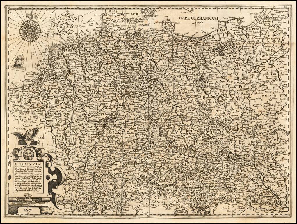
Highly detailed regional map, centered on the course of the Danube River, from Ips to Braunau.
Also shows Salzburg, Rachstats, Rottenman, Loeben, Waiddhofen, Zwetl, Weitra and Passau. Ornate cartouche.
Tobias Conrad Lotter (1717-1777) is one of the best-known German mapmakers of the eighteenth century. He engraved many of the maps published by Matthaus Seutter, to whose daughter Lotter was married. He took over Seutter’s business in 1756. Lotter’s son, M. A. Lotter, succeeded his father in the business.
If you are a student, write to us in telegram: @antiquemaps and indicate what material you need and for what work you need a map in high detail. We are ready to provide material on special terms. For students only!