Map size in jpg-format: 108.979MiB
Click to open in high resolution (open in new tab).
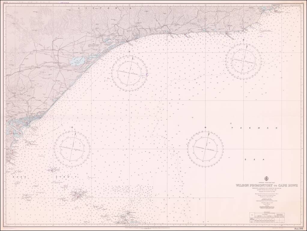
Fine sea chart extending from Cape Howe Marine National Park to Wilson Promontory, prepared for the Royal Australian Navy.
If you are a student, write to us in telegram: @antiquemaps and indicate what material you need and for what work you need a map in high detail. We are ready to provide material on special terms. For students only!

![[English Edition!] Maris Pacifici quod vulgo Mar del Zud](/map/small/71000.jpg)
