Map size in jpg-format: 42.3724MiB
Click to open in high resolution (open in new tab).
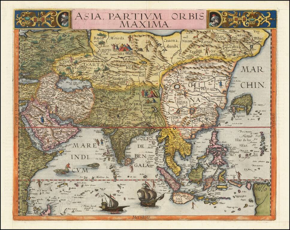
The First Appearance of Formosa Island on a Printed Map.
Finely colored example of Gerard De Jode's map of Asia, published in his Speculum Orbis Terrae, in 1593.
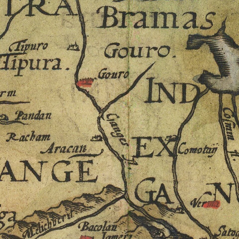
The map has a fascinating depiction of the Philippine Islands. Singapore is "Sincapura". There is no sign of Korea and the shape of Japan is quite unusual.
The Great Wall of China is shown enveloping the northern Chinese border.
The map is also apparently the earliest appearance of the name Formosa (I. Fermosa) on a map printed in Europe.
The map is based on the monumental work of Giacomo di Gastaldi and significantly improves on De Jode's 1573 map of Asia, especially in its depiction of Southeast Asia, the Philippines, and China. The first edition is shown here: /gallery/detail/45822
Title in a decorative panel at the top with strapwork and two heads, seas with galleys, ships, sea monsters, fishermen; hunting men and tents on land.
Gerard De Jode was a contemporary of Abraham Ortelius. His Speculum Orbis, did not enjoy the same commercial success as Ortelius, making his maps very scarce and highly desirable.
This map notes that it was done by Gerard De Jode himself.
Gerard De Jode (1509-1591) was a pre-eminent mapmaker in the late seventeenth century, a time when the Dutch dominated the map trade. He was known for his many maps, some of which featured in Speculum Orbis Terrae (first edition Antwerp: 1578). Although never as successful as Ortelius’ Theatrum, the Speculum did get republished in a second edition in 1593, two years after De Jode’s death, by Arnold Coninx, and included this map. After his death, Gerard’s son, Cornelis (1568-1600), and his wife, Paschina, ran the shop. Unfortunately, Cornelis died young in 1600, aged only 32, and the stock and plates were sold to the publisher Joan Baptista Vrients.
If you are a student, write to us in telegram: @antiquemaps and indicate what material you need and for what work you need a map in high detail. We are ready to provide material on special terms. For students only!


