Map size in jpg-format: 46.9668MiB
Click to open in high resolution (open in new tab).
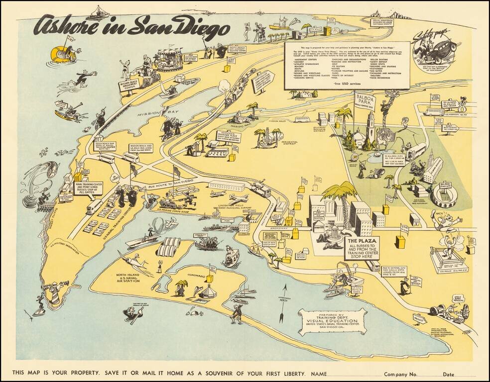
Lively pictorial map of San Diego, prepared for soldiers on leave from the Naval Training Center during WWII.
The map extends north to La Jolla, showing the USO facility at 7776 Eads Avenue, and East Balboa Park.
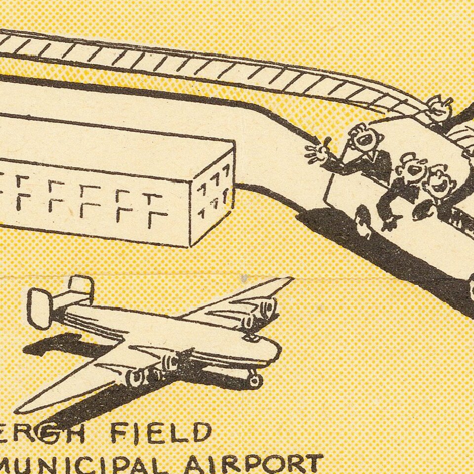
The map is centered on Lindbergh field and focuses on the attractions, military installations and USO centers around San Diego. The roller coaster and carousel at the Plunge in Mission Beach are shown quite prominently, along with the Zoo, Balboa Stadium and the Coliseum located at 15th and E Street.
If you are a student, write to us in telegram: @antiquemaps and indicate what material you need and for what work you need a map in high detail. We are ready to provide material on special terms. For students only!
![[Signed Political Satire Artwork] Vietnam ... Vietnam ... Vietnam ...](/map/small/68726.jpg)

