Map size in jpg-format: 19.0239MiB
Click to open in high resolution (open in new tab).
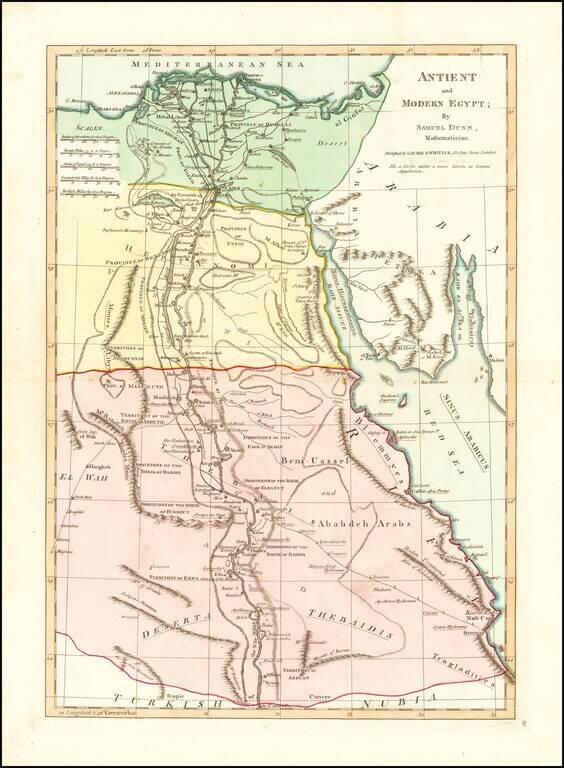
Interesting map extending from the mouth of the Nile and Nile River Valley (extending to the Assuan and the Cataract) to the Red Sea.
Includes both ancient and modern names, including Troglodictica, Theaidis, El Way, Heptanomi, Thebais, etc. A number of Provinces are shown, along with the Dominions of Sheik Aboutig, the Sheik of Bardis, the Sheik of Furshut, the Sheik of Elbanut, the Dominos of Emir D'Akmin and other interesting regions. Some early roads are also noted, and other towns with Sheiks noted.
From Dunn's New Atlas or Mundane System of Geography.
If you are a student, write to us in telegram: @antiquemaps and indicate what material you need and for what work you need a map in high detail. We are ready to provide material on special terms. For students only!
![[Arabian Peninsula, Red Sea, Nile River and Gulf of Aden] L'Afrique . . . 1740](/map/small/59382.jpg)
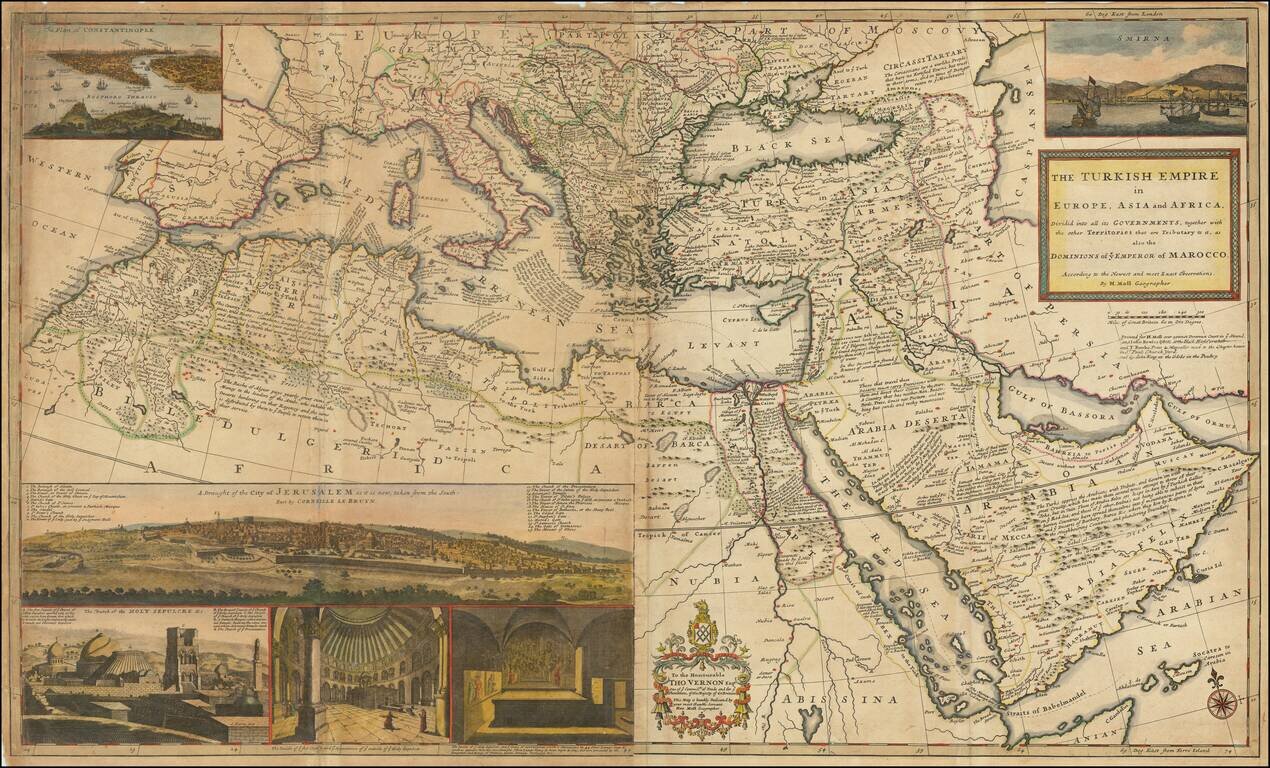
![Turcici Imperii Imago [shows Cyprus]](/map/small/68676.jpg)