
Map size in jpg-format: 54.41MiB
Click to open in high resolution (open in new tab).
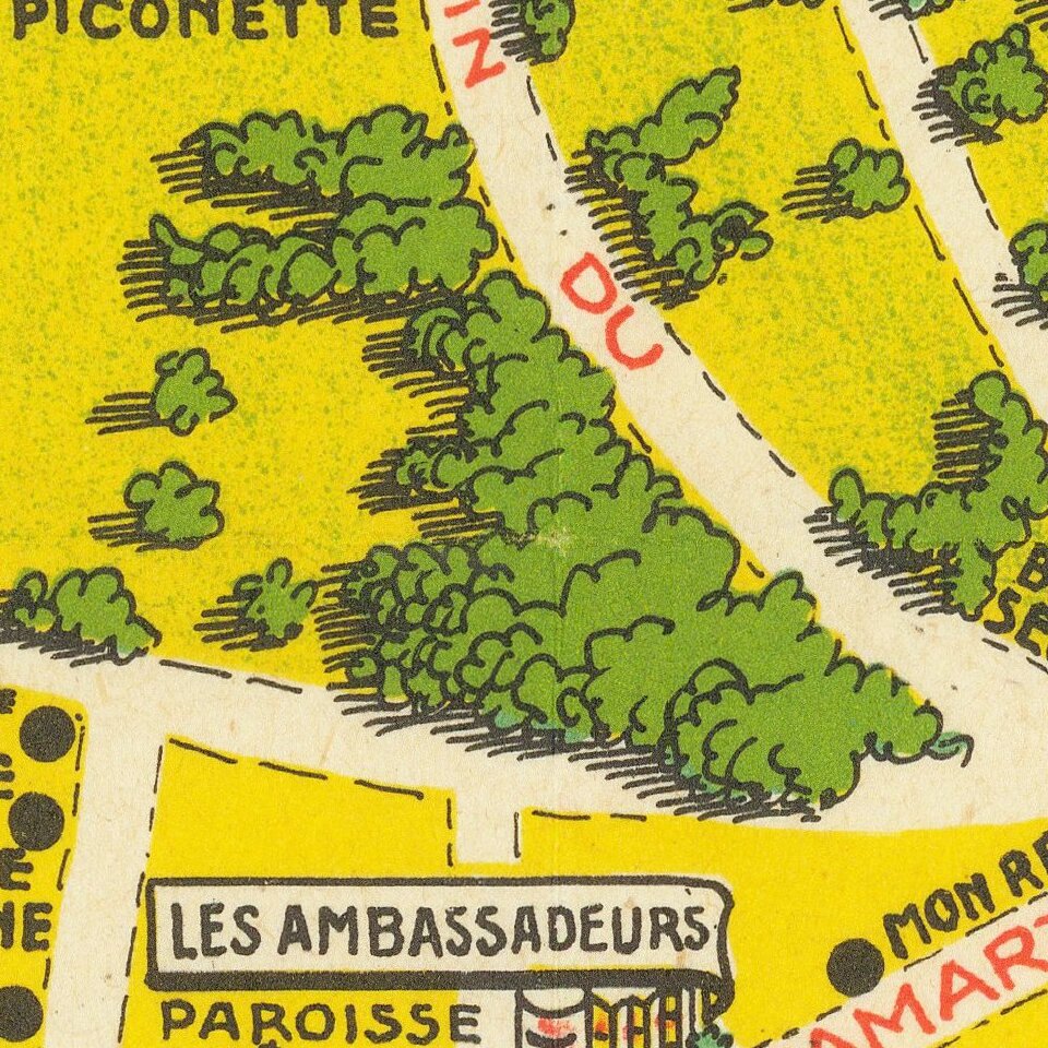
Great vintage pictorial of Cap D'Antibes in southern France published by Bonfant & Rampleberg, in Nice, in 1949.
The map is by Vic (Victor?) Raymon and features the quintessential glamorous style of mid-century southern France.
The point of the map was to promote the Juan Les Pins resort and its associated casino.
If you are a student, write to us in telegram: @antiquemaps and indicate what material you need and for what work you need a map in high detail. We are ready to provide material on special terms. For students only!
![Carte d'Etude [Study Map]](/map/small/66795.jpg)
![Orange [Vauban Style Fortress]](/map/small/62043.jpg)
