Map size in jpg-format: 56.2487MiB
Click to open in high resolution (open in new tab).
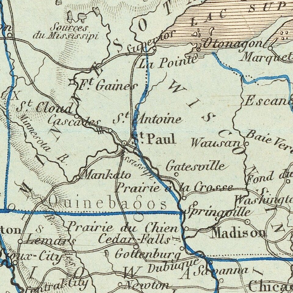
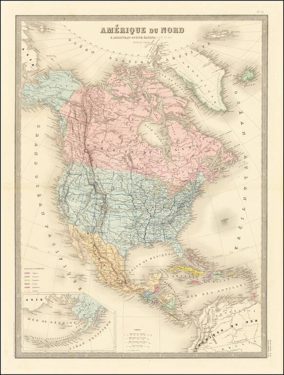
Excellent detailed map of North America, published in Paris.
Alaska is now part of the United States and a massive British Columbia is outlined in red.
The shape of Wyoming is very curious, with Yellowstone outlined as its own state.
If you are a student, write to us in telegram: @antiquemaps and indicate what material you need and for what work you need a map in high detail. We are ready to provide material on special terms. For students only!


![[Signed Political Satire Artwork] Vietnam ... Vietnam ... Vietnam ...](/map/small/68726.jpg)