Map size in jpg-format: 17.7108MiB
Click to open in high resolution (open in new tab).
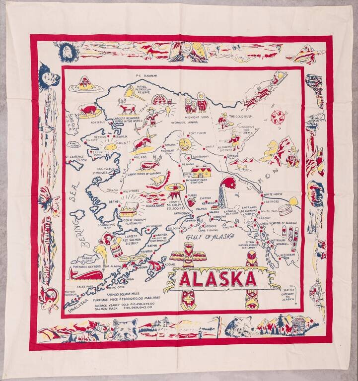
Large vintage pictorial map of Alaska printed on linen.
The map is surrounded by a large decorative border featuring native Alaskans, landscapes, and wildlife.
The map is not without humor; it describes whales as "portable geysers of Alaska". The purchase price of Alaska from Russia is given, as are the yearly yields of gold and salmon.
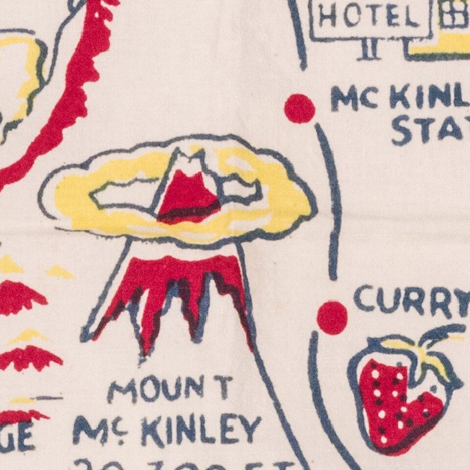
The map features the Alcan Highway, which was constructed during World War II. Interestingly, the map also depicts the Katalla Oil Fields, which were largely abandoned by the late 1930s. This makes the map somewhat hard to date, but suggests it was made sometime between 1940 and 1950.
If you are a student, write to us in telegram: @antiquemaps and indicate what material you need and for what work you need a map in high detail. We are ready to provide material on special terms. For students only!
![America [Manuscript Map Showing the Sea of the West!]](/map/small/41297dm.jpg)

![[Atlantis?] Ristretto Delle Carte presentate all' Academia delle Scienze di Parigi negli anni 1737 e 1752 dal Sig di Buache](/map/small/58667.jpg)