Map size in jpg-format: 63.1298MiB
Click to open in high resolution (open in new tab).
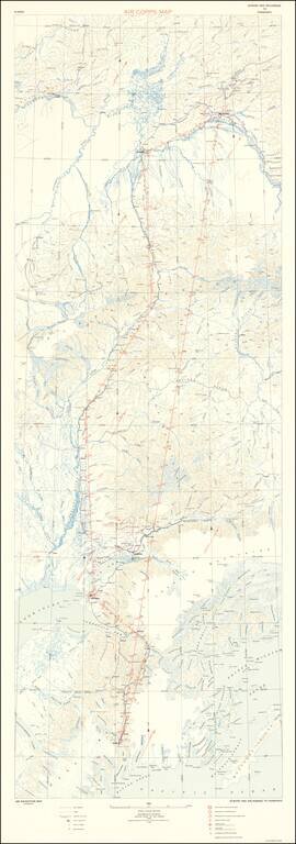
Rare Military Air Map for Alaska
Rare oversized aeronautical map of Alaska, published by the United States Army Air Corps, Information Division.
The map was issued very early in the Aeronautical history of Alaska. The first manned flight in Alaska took place in 1913, with the first commercial air service in 1927. The map pre-dates the boom in the early 1940s, when the US Military established a number of air bases during World War II, under the auspices of the Alaska Air Command.
The map was prepared in order to allow military pilots to fly between Fairbanks and the Anchorage / Seward area using visual flight rules and a compass.
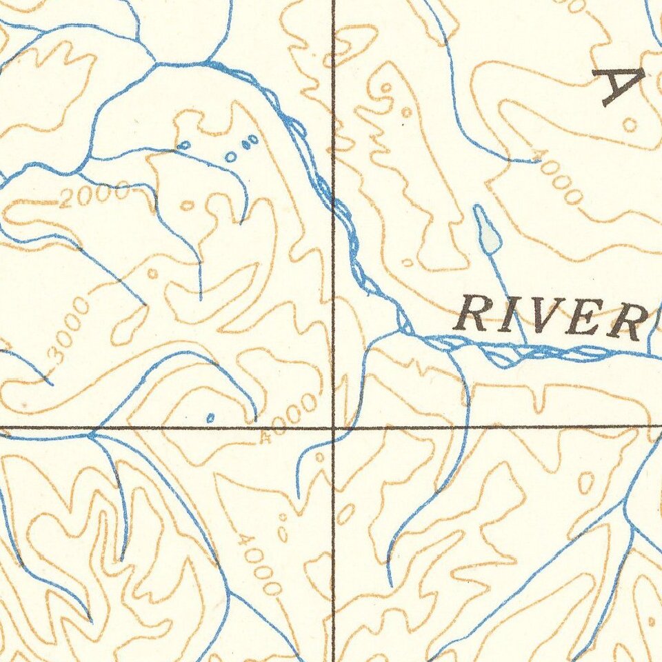
The base map utilizes topographical symbols to shown mountains, rivers railroad tracks, towns, mines/quarries and roads. Compass variations are also shown.
The map also locates:
Rarity
OCLC locates 2 copies: University of Wisconsin, Milwaukee (American Geographical Society) and University of Chicago.
If you are a student, write to us in telegram: @antiquemaps and indicate what material you need and for what work you need a map in high detail. We are ready to provide material on special terms. For students only!
![America [Manuscript Map Showing the Sea of the West!]](/map/small/41297dm.jpg)

![[Atlantis?] Ristretto Delle Carte presentate all' Academia delle Scienze di Parigi negli anni 1737 e 1752 dal Sig di Buache](/map/small/58667.jpg)