Map size in jpg-format: 51.6198MiB
Click to open in high resolution (open in new tab).
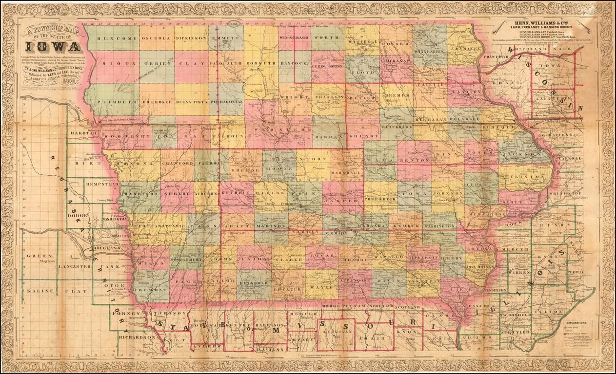
Nice example of the third edition of Henn, Williams & Co.'s large format map of Iowa.
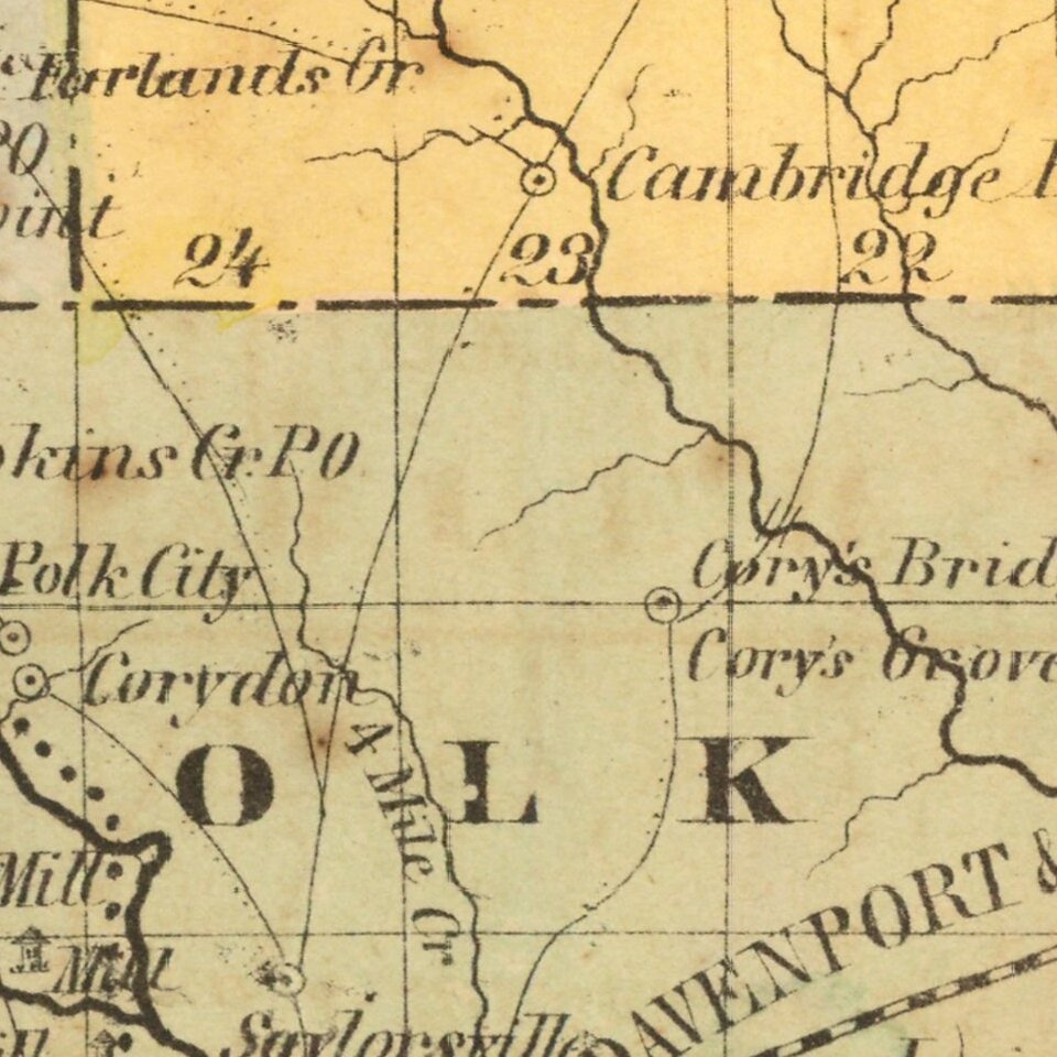
The map is hand colored by counties and shows township surveys, towns, railroasd,s roads, rivers, post offices and other details.
The map has been entirely re-engraved from 1855 edition, with numerous changes and new decorative border. This edition of the map was co-published by Keen & Lee of Chicago and Charles DeSilver of Philadelphia. Published in Chicago.
If you are a student, write to us in telegram: @antiquemaps and indicate what material you need and for what work you need a map in high detail. We are ready to provide material on special terms. For students only!

![Amer. Sep. No. 49. Partie des États Unis [Missouri, Illinois, Indian Territory, Kansas, Nebraska, Iowa]](/map/small/22888.jpg)