Map size in jpg-format: 19.025MiB
Click to open in high resolution (open in new tab).
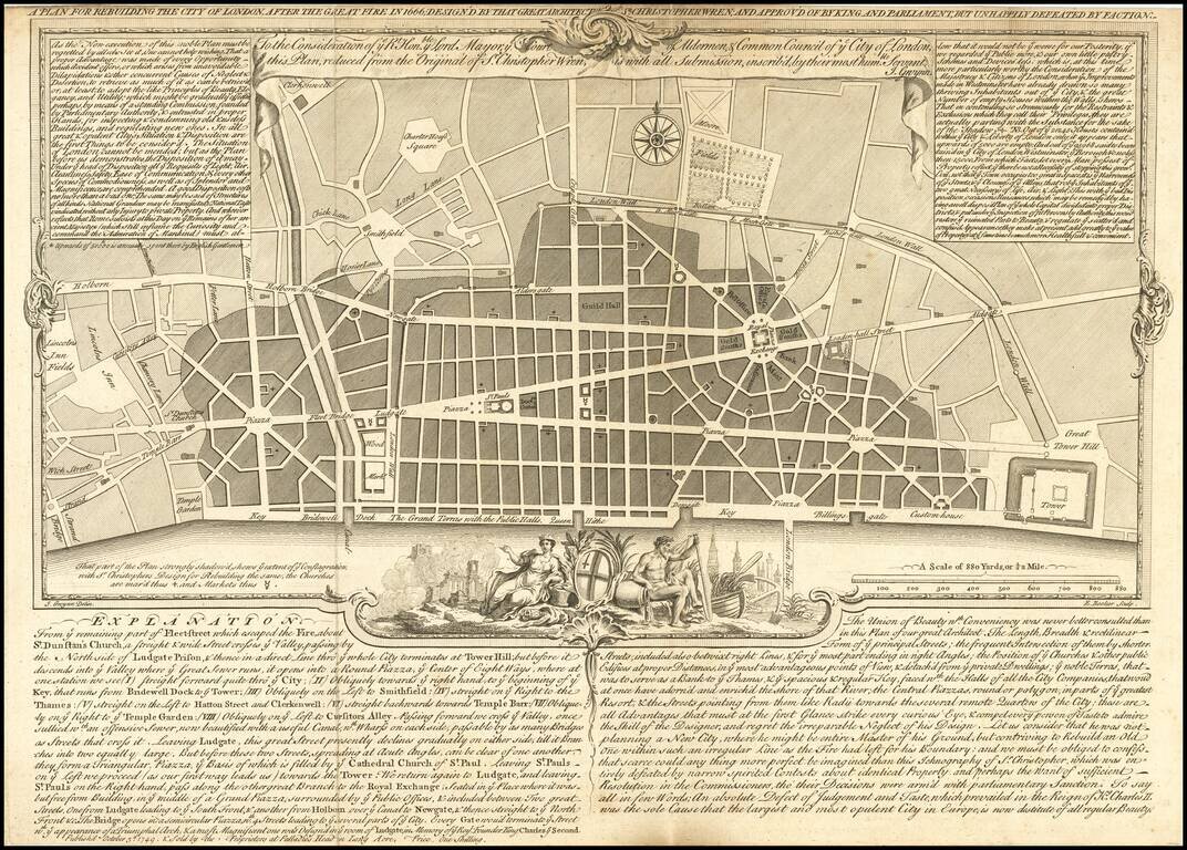
One of the Rarest of Christopher Wren's Proposed Plans for Rebuilding London.
Fine reduced example of Christopher Wren's plan for rebuilding London after the fire, by John Gwynn, engraved by Edward Rooker and published by the Proprietors at Palladios Head in Long Acre.
The second title includes a dedication from John Gwynn to the Lord Mayor, Court of Aldermen, and Common Council of the City of London.
Includes two panels with notes on Wren's proposal at top left and right, and an explanation to the plan at the bottom portion of plate.
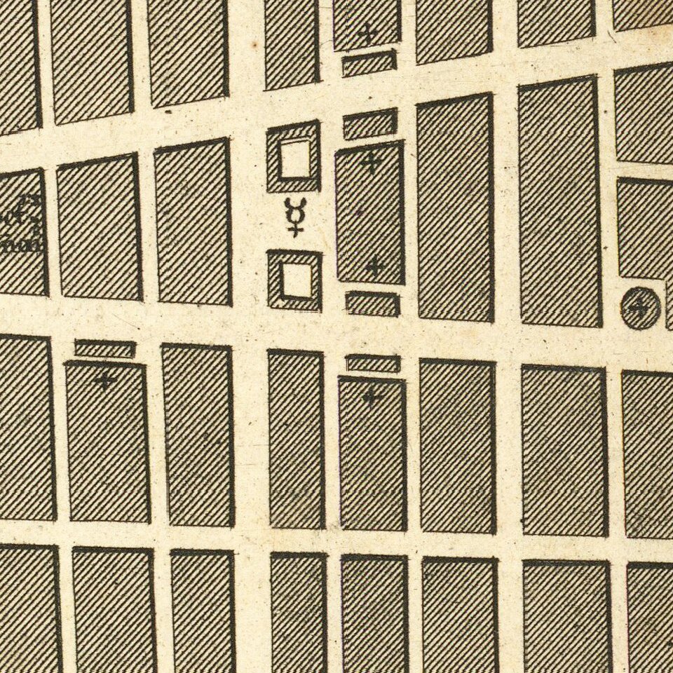
The Shading indicates area destroyed in Great Fire.
British Library, Maps Crace Port. 17.6:
This edition has a textual explanation beneath the map. Wren was a Professor of Astronomy at Oxford with interest in the science of architecture, he was among the first to submit a proposal after the catastrophe. The narrow streets that had helped spread the fires have been replaced by monumental avenues radiating from piazzas. The classical buildings and formal street plans that Wren had studied in Paris and Rome are a clear influence. He also proposed constructing a Thameside quay from Bridewell to the Tower, replacing the ramshackle wooden wharf-side buildings with warehouses. A vignette of Tamesis (a river god), with London burning in the background has been added to the border. Wren's plan was never used.
If you are a student, write to us in telegram: @antiquemaps and indicate what material you need and for what work you need a map in high detail. We are ready to provide material on special terms. For students only!