logo

1934. A Picture Map of Cape Ann and the North Shore

  • A Picture Map of Cape Ann and the North Shore

A Picture Map of Cape Ann and the North Shore information:

Year of creation: 
Resolution size (pixels): 
 10514x8708 px
Disk Size: 
 21.7262MiB
Number of pages: 
 1
Place: 
 Boston
Author: 

Print information. Print size (Width x height in inches):
Printing at 72 dpi 
  146.03 х 120.94
Printing at 150 dpi 
 70.09 х 58.05
Printing at 300 dpi 
 35.05 х 29.03

An example of detailing the file of this map of in a printable high-resolution:

Click to open in high resolution (open in new tab).
Attention! this is just the central piece (central area 960x960 px) of the map file!
This is an example, so that you can see and study the level of detail of a given map. The entire Map will be fully available after payment!

A Picture Map of Cape Ann and the North Shore

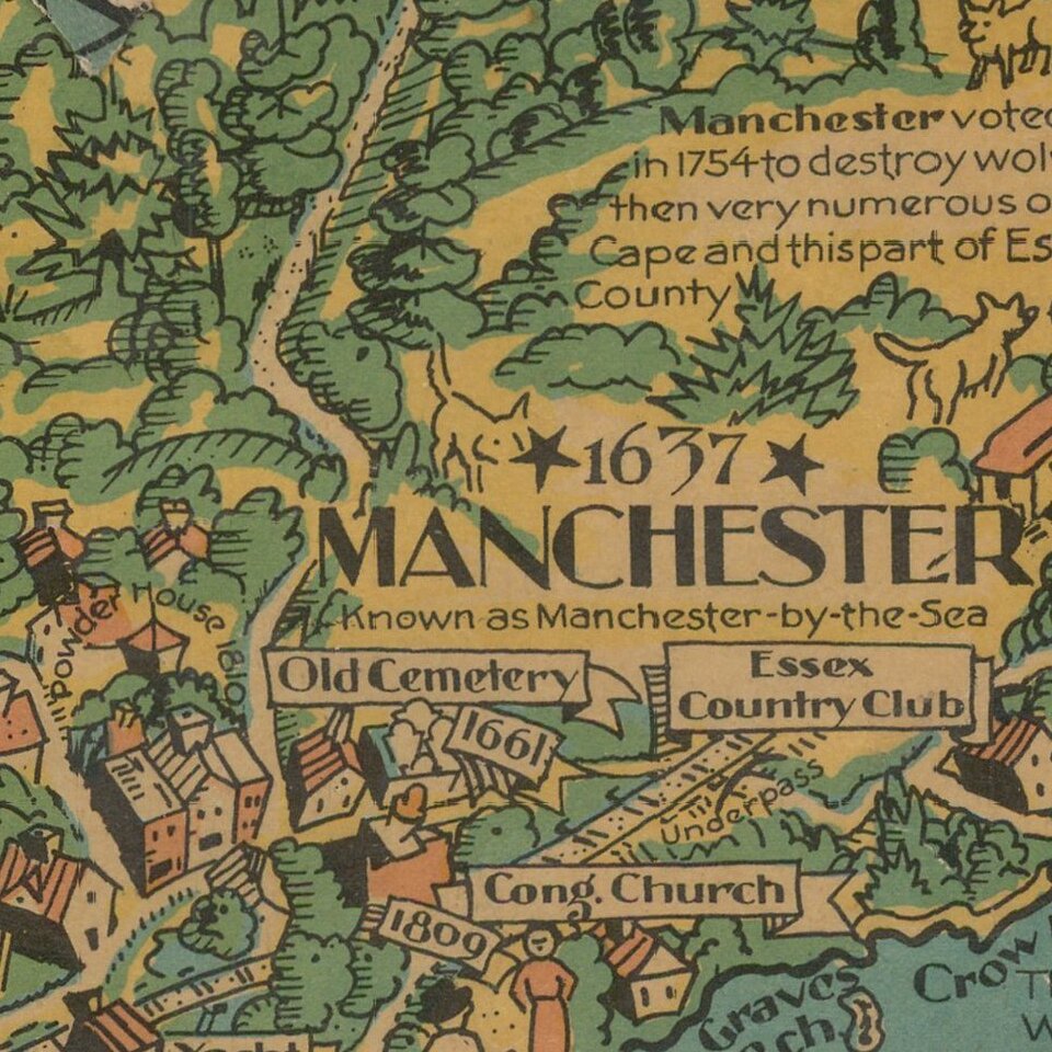
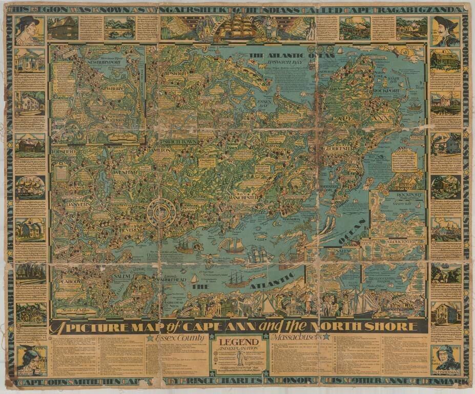
Finely illustrated pictorial map of Cape Ann area of northern coastal area of Massachusetts.

Timelines and noteworthy feature descriptions border the map.


Special conditions for students!

If you are a student, write to us in telegram: @antiquemaps and indicate what material you need and for what work you need a map in high detail. We are ready to provide material on special terms. For students only!

Item information:

Year of creation:
Size:
10514x8708 px
Disk:
21.7262MiB
Number of pages:
1
Place:
Boston
Author:
Errol W Goff.
$14.99

Related item