logo

1804. A New Universal Atlas; Intended as a Companion to the Geography for Children, and other Introductory Works on That Subject.

  • A New Universal Atlas; Intended as a Companion to the Geography for Children, and other Introductory Works on That Subject.
  • A New Universal Atlas; Intended as a Companion to the Geography for Children, and other Introductory Works on That Subject.
  • A New Universal Atlas; Intended as a Companion to the Geography for Children, and other Introductory Works on That Subject.
  • A New Universal Atlas; Intended as a Companion to the Geography for Children, and other Introductory Works on That Subject.

A New Universal Atlas; Intended as a Companion to the Geography for Children, and other Introductory Works on That Subject. information:

Year of creation: 
Resolution size (pixels): 
 5320x4100 px
Disk Size: 
 2.73259MiB
Number of pages: 
 32
Place: 
 London
Author: 

Print information. Print size (Width x height in inches):
Printing at 72 dpi 
  73.89 х 56.94
Printing at 150 dpi 
 35.47 х 27.33
Printing at 300 dpi 
 17.73 х 13.67

An example of detailing the file of this map of in a printable high-resolution:

Click to open in high resolution (open in new tab).
Attention! this is just the central piece (central area 960x960 px) of the map file!
This is an example, so that you can see and study the level of detail of a given map. The entire Map will be fully available after payment!

A New Universal Atlas; Intended as a Companion to the Geography for Children, and other Introductory Works on That Subject.

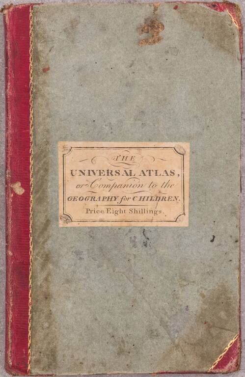
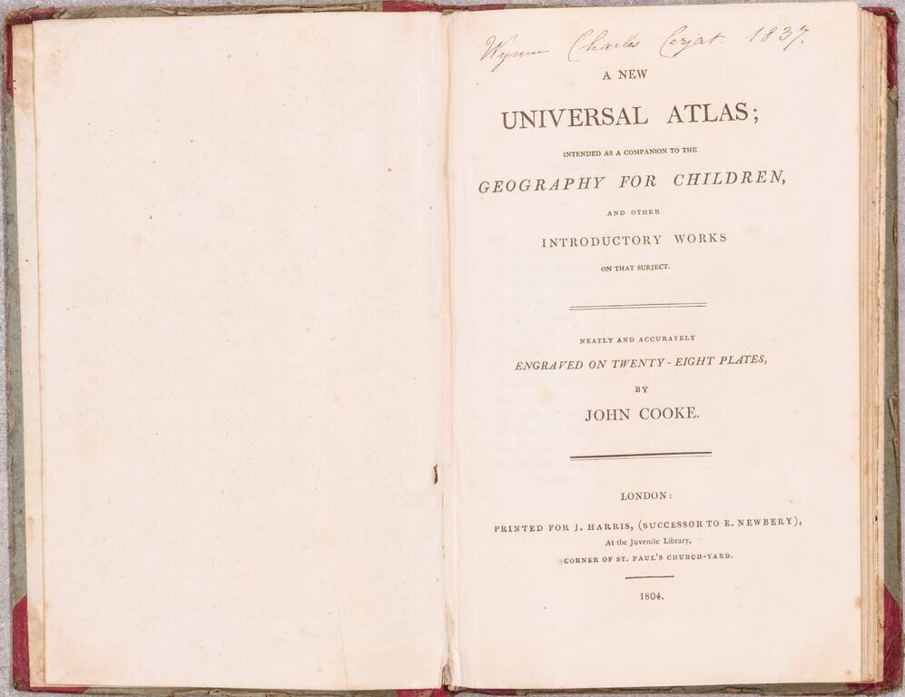
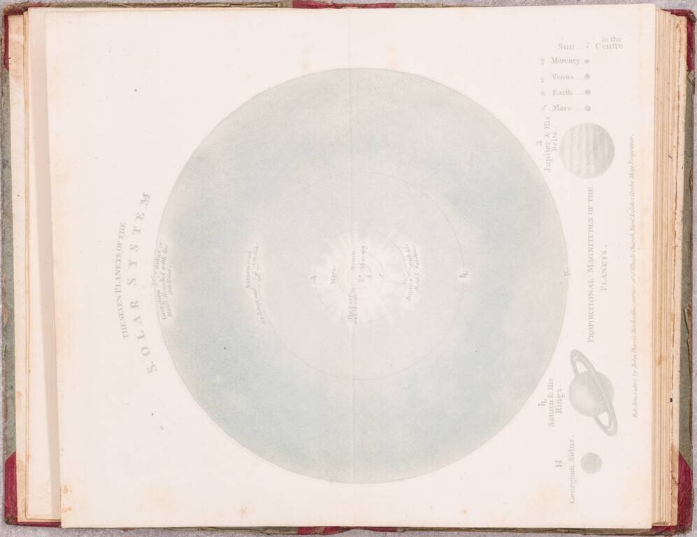
Beautiful example of John Cooke's unusual and rare miniature atlas for children, with its complement of circle-framed maps copper-engraved maps.

Cooke chose to diverge from almost all other mapmakers of the time in framing all of his maps in circular borders.

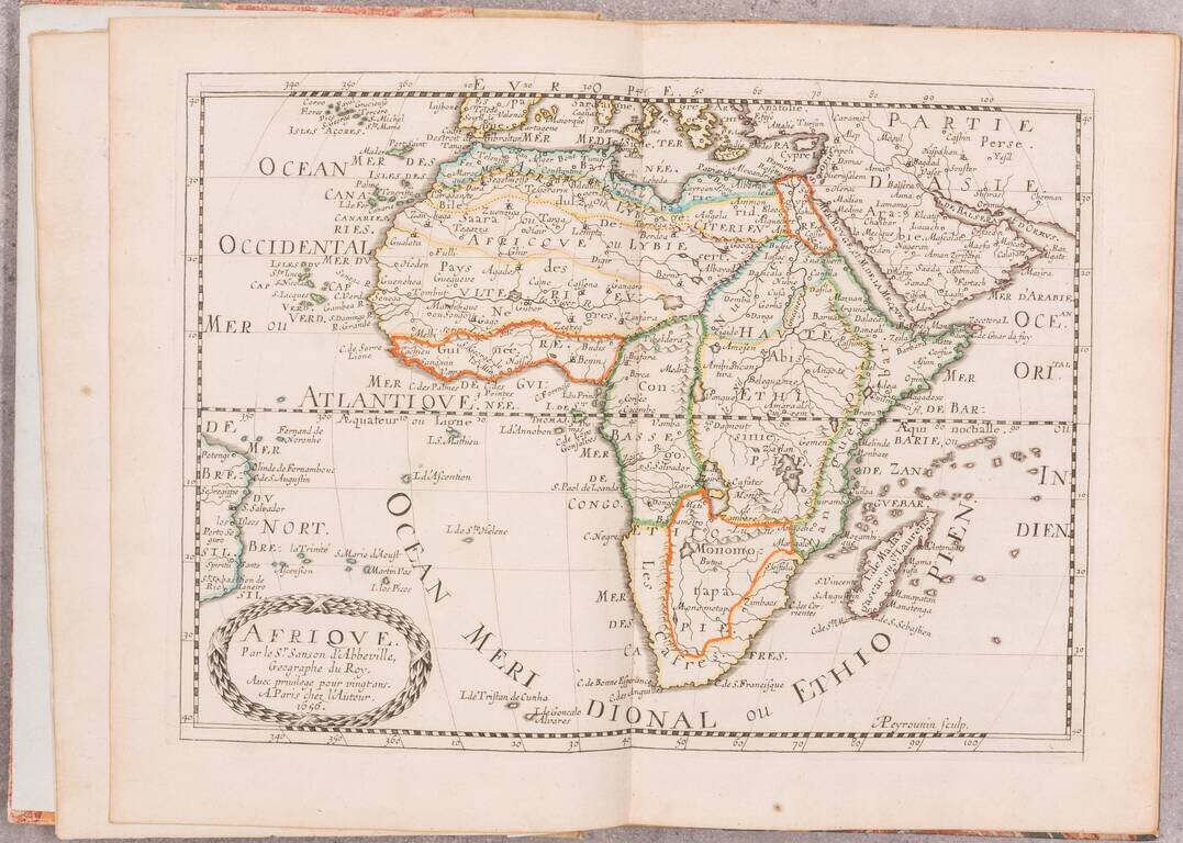
In addition to its world and European maps, the atlas includes three maps of the Americas (North America, the Caribbean, and South America), one of Africa, and three of Asia (Asia, India, and Southeast Asia).

Rare. Not in Phillips Atlases nor King Miniature Maps. Only two examples recorded in RBH (1999 and 2007).

Provenance

Ink ownership inscription of Wynne Charles Cerjat in 1837. Records indicate Wynne Charles de Cerjat was born in 1825 making him 12-years-old when he owned the book.

Not in Phillips Atlases nor King Miniature Maps.

Special conditions for students!

If you are a student, write to us in telegram: @antiquemaps and indicate what material you need and for what work you need a map in high detail. We are ready to provide material on special terms. For students only!

Item information:

Year of creation:
Size:
5320x4100 px
Disk:
2.73259MiB
Number of pages:
32
Place:
London
Author:
John Cooke.
$24.99

Related item