logo

1842. A New Universal Atlas, Comprising Separate Maps Of all the Principal Empires, Kingdoms & States Throughout The World and Forming a Distinct Atlas of the United States. . . .

  • A New Universal Atlas, Comprising Separate Maps Of all the Principal Empires, Kingdoms & States Throughout The World and Forming a Distinct Atlas of the United States. . . .
  • A New Universal Atlas, Comprising Separate Maps Of all the Principal Empires, Kingdoms & States Throughout The World and Forming a Distinct Atlas of the United States. . . .
  • A New Universal Atlas, Comprising Separate Maps Of all the Principal Empires, Kingdoms & States Throughout The World and Forming a Distinct Atlas of the United States. . . .
  • A New Universal Atlas, Comprising Separate Maps Of all the Principal Empires, Kingdoms & States Throughout The World and Forming a Distinct Atlas of the United States. . . .

A New Universal Atlas, Comprising Separate Maps Of all the Principal Empires, Kingdoms & States Throughout The World and Forming a Distinct Atlas of the United States. . . . information:

Year of creation: 
Resolution size (pixels): 
 9111x5906 px
Disk Size: 
 8.87043MiB
Number of pages: 
 69
Place: 
 Brattleboro, Vermont
Author: 

Print information. Print size (Width x height in inches):
Printing at 72 dpi 
  126.54 х 82.03
Printing at 150 dpi 
 60.74 х 39.37
Printing at 300 dpi 
 30.37 х 19.69

An example of detailing the file of this map of in a printable high-resolution:

Click to open in high resolution (open in new tab).
Attention! this is just the central piece (central area 960x960 px) of the map file!
This is an example, so that you can see and study the level of detail of a given map. The entire Map will be fully available after payment!

A New Universal Atlas, Comprising Separate Maps Of all the Principal Empires, Kingdoms & States Throughout The World and Forming a Distinct Atlas of the United States. . . .

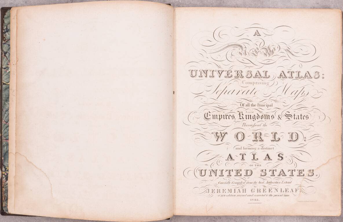
Including Maps of the Republic of Texas and Oregon Territory

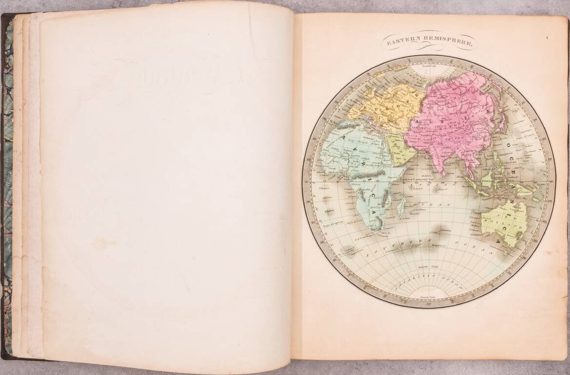
An important and elegantly colored American Atlas, published by Jeremiah Greenleaf in Brattleboro, Vermont.

Jeremiah Greenleaf's Universal Atlas is the continuation of the work of David Burr. Burr had previously published his Atlas of the State of New York (first published in 1829) and his Universal Atlas in 1835. Burr became the official topographer of the United States Post Office Department in 1832. The publication of his Postal Atlas of the United States in 1839 likely resulted in his ceasing involvement and selling the rights to his Universal Atlas and New York Atlas in the same year.

Greenleaf continued and expanded the work. The first edition of Greenleaf's work was issued in 1840. The current atlas advertises that it is "A new edition, revised and corrected to the present time."

The maps are elegantly engraved in copper and feature a fine wash color, a significant upgrade from the work of earlier publishers. Several noteworthy maps of American Territories, etc. are added, including:

  • Texas (one of only a few separate atlas maps to show the Republic of Texas, along with Bradford, Tanner, and Arrowsmith)
  • Oregon Territory ( the only American atlas map to illustrate Oregon Territory in its earliest configuration)
  • Wisconsin and Iowa
  • Map of the Territory of Florida

An indispensable work for American atlas collectors.

Provenance: Warren Heckrotte Collection. Purchased at PBA Galleries, March 2016.


Special conditions for students!

If you are a student, write to us in telegram: @antiquemaps and indicate what material you need and for what work you need a map in high detail. We are ready to provide material on special terms. For students only!

Item information:

Year of creation:
Size:
9111x5906 px
Disk:
8.87043MiB
Number of pages:
69
Place:
Brattleboro, Vermont
Author:
Jeremiah Greenleaf.
$24.99

Related item