Map size in jpg-format: 74.9611MiB
Click to open in high resolution (open in new tab).
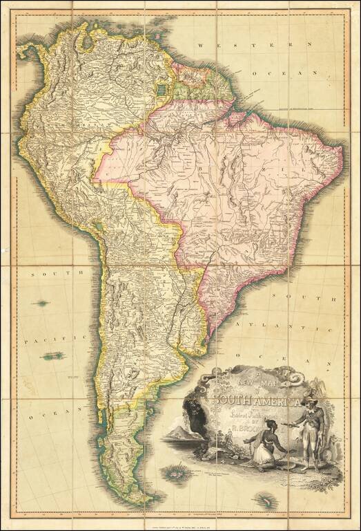
Fine large format map of South America, published in London by William Darton, Junior.
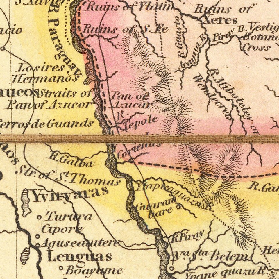
The is finely colored and includes road systems, topographical details, historical annotations and other notes.
The map includes an evocative cartouche, showing a European male soldier subjugating a shackled indigenous female. The image is ironic, given that the time period in which the map is published in the midst of the first decade of Revolution throughout South America.
The map was mentioned in the Monthly Literary Advertiser, August 1819, at page 61.
Rarity
The map is extremely rare. We were unable to locate another example.
If you are a student, write to us in telegram: @antiquemaps and indicate what material you need and for what work you need a map in high detail. We are ready to provide material on special terms. For students only!


![[Signed Political Satire Artwork] Vietnam ... Vietnam ... Vietnam ...](/map/small/68726.jpg)