Map size in jpg-format: 14.6526MiB
Click to open in high resolution (open in new tab).
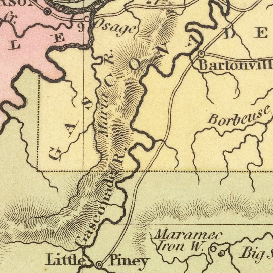
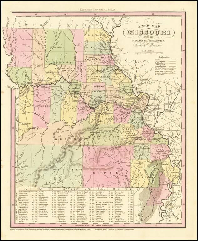
Detailed map of Missouri from Tanner's New Universal Atlas.
Hand colored by county and showing towns, rivers, lakes, railroads, roads, etc. Table of Steam Boat routes and distances.
Includes a number of ovesized counties, including Barry, Taney, Ripley, Pulaski, etc. The Bounty Lands appear, as does the Addition of 1836.
If you are a student, write to us in telegram: @antiquemaps and indicate what material you need and for what work you need a map in high detail. We are ready to provide material on special terms. For students only!
![[Missouri named Jefferson] Etats-Unis par A.M. Perrot](/map/small/69488.jpg)
![[The Mississippi-Missouri: A Geographical Blunder -- An Illustrated Argument For Renaming The Lower Mississippi River Put Forth By A Prominent American Educator To The Author of a Best Selling American School Geography]](/map/small/56241.jpg)