logo

1836. A New Map Of Maryland and Delaware with their Canals, Roads, Distances . . .

  • A New Map Of Maryland and Delaware with their Canals, Roads, Distances . . .

A New Map Of Maryland and Delaware with their Canals, Roads, Distances . . . information:

Year of creation: 
Resolution size (pixels): 
 9168x7216 px
Disk Size: 
 17.1044MiB
Number of pages: 
 1
Place: 
 Philadelphia
Author: 

Print information. Print size (Width x height in inches):
Printing at 72 dpi 
  127.33 х 100.22
Printing at 150 dpi 
 61.12 х 48.11
Printing at 300 dpi 
 30.56 х 24.05

An example of detailing the file of this map of in a printable high-resolution:

Click to open in high resolution (open in new tab).
Attention! this is just the central piece (central area 960x960 px) of the map file!
This is an example, so that you can see and study the level of detail of a given map. The entire Map will be fully available after payment!

A New Map Of Maryland and Delaware with their Canals, Roads, Distances . . .

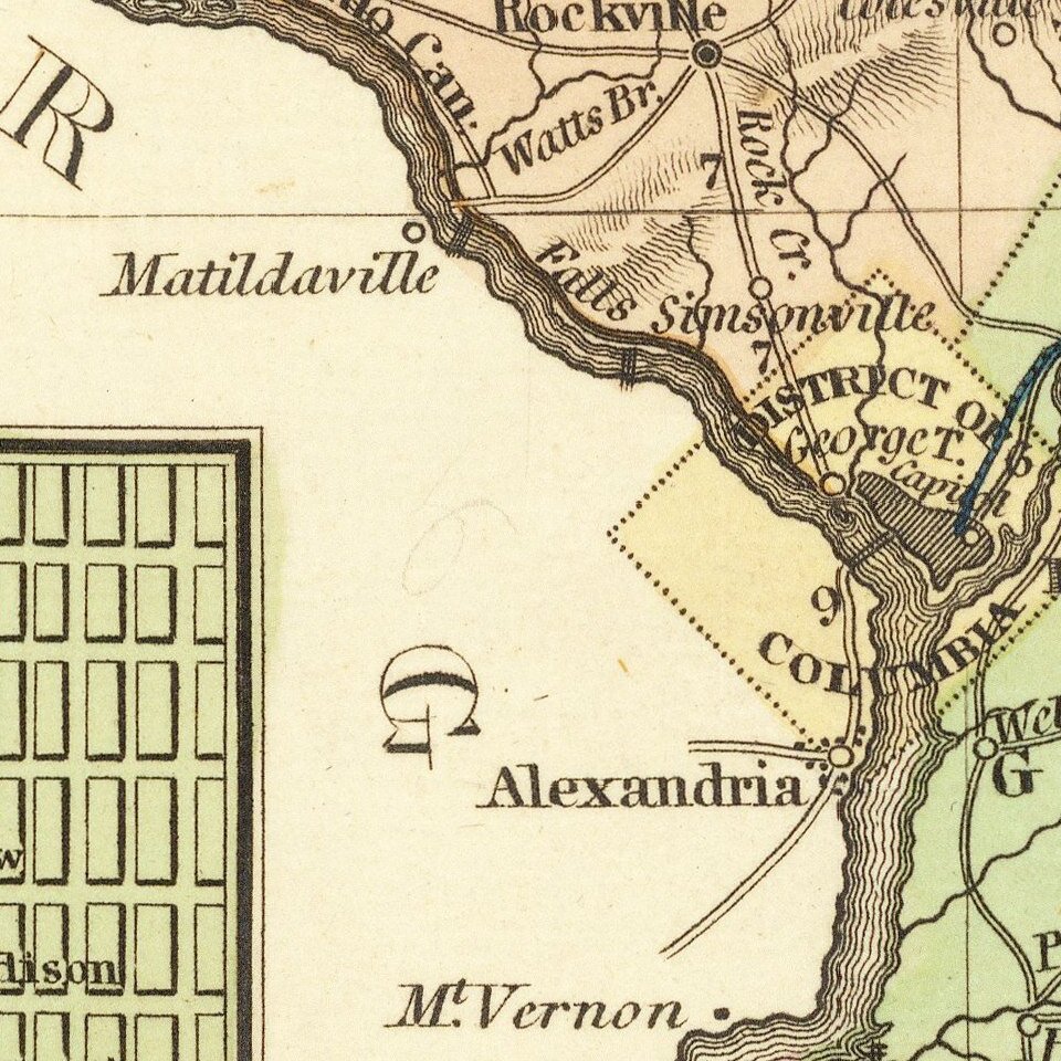
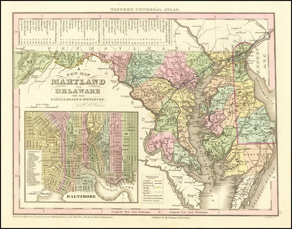
Scarce Carey & Hart edition of Tanner's map of Maryland and Delaware, from Tanner's Universal Atlas.

Detailed and interesting map, hand colored by county and showing towns, rivers, bays, lakes, railroads, roads, distances, etc. Tables of Steam Boat routes and distances. Population Table by County and by decade. This is the last state of the map prior to the inclusion of the Green rope border around the outer border (1845) and the subsequent sale of the rights to the atlas to SA Mitchell (1846).


Special conditions for students!

If you are a student, write to us in telegram: @antiquemaps and indicate what material you need and for what work you need a map in high detail. We are ready to provide material on special terms. For students only!

Item information:

Year of creation:
Size:
9168x7216 px
Disk:
17.1044MiB
Number of pages:
1
Place:
Philadelphia
Author:
Henry Schenk Tanner.
$14.99

Related item