Map size in jpg-format: 55.5835MiB
Click to open in high resolution (open in new tab).
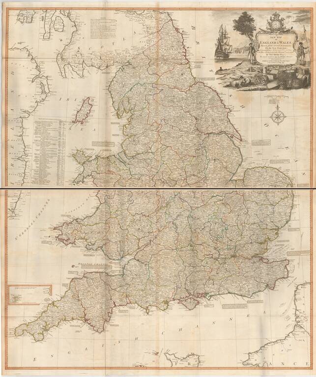
Fine large format map of England and Wales, published by Laurie & Whttle, based upon an earlier map by Thomas Kitchin.
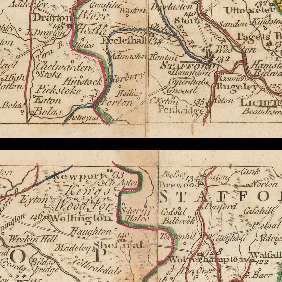
The map is updated to incorporate all British Canals through 1792.
A number of annotations are shown along the coastlines, identifying navigable canals and other information regarding the length of inland navigation for the major rivers feeding into the various seas around England and Wales.
Includes an elaborate decorative cartouche.
James Whittle (1757-1818) was a British engraver and map printer. Whittle was employed by Robert Sayer (ca. 1725-1794). Together with Robert Laurie (1755?-1836), he took on Sayer’s business when the older man died in 1794. The two traded together as Laurie & Whittle until 1812, when Laurie retired. They had specialized in sea charts and maritime atlases. Whittle then partnered with Laurie’s son, Richard Holmes Laurie, until he died in 1818.
If you are a student, write to us in telegram: @antiquemaps and indicate what material you need and for what work you need a map in high detail. We are ready to provide material on special terms. For students only!


