Map size in jpg-format: 34.1352MiB
Click to open in high resolution (open in new tab).
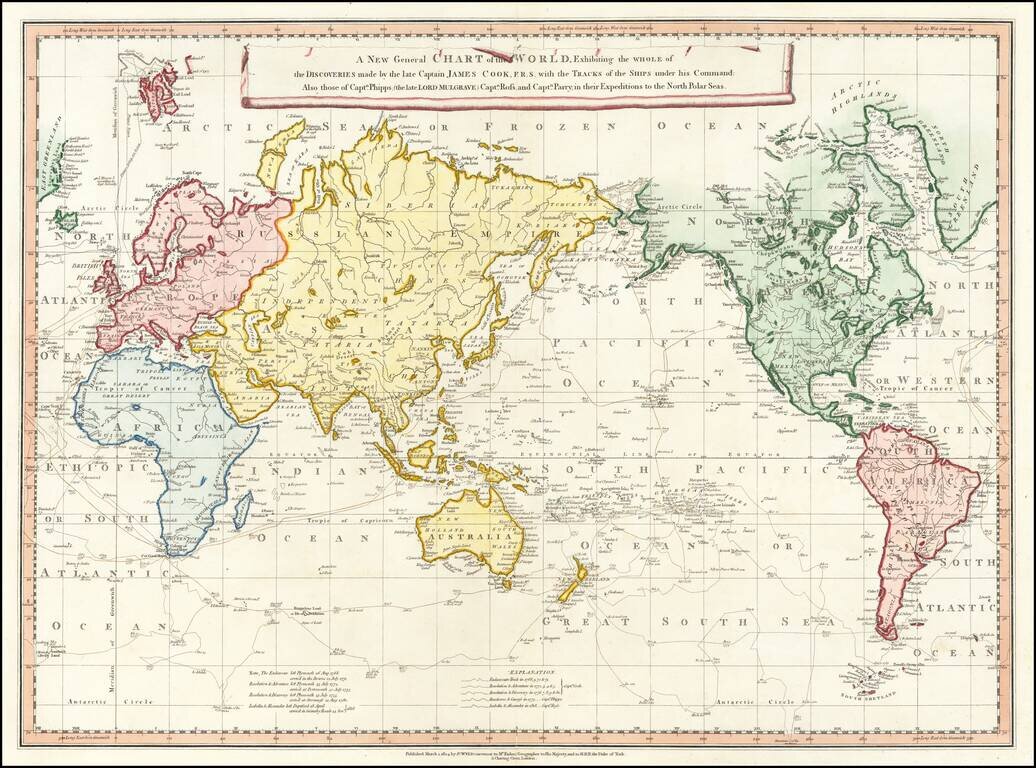
Rare 1824 edition of this rare separately issued map of the World on Mercator's Projection showing the tracks of all three of Cook's voyages as well as the Arctic expedition of Captain Phipps, Ross and Parry, published in the early 19th Century
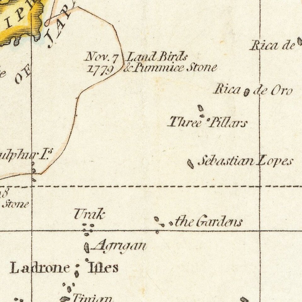
This fine map was issued by William Faden (1749-1836), then Britain's leading cartographer and the official Geographer to King George III. It depicts the world, including the revolutionary re-charting for the Pacific, following the voyages of Captain James Cook (1728-79). Much of the Pacific remained a complete enigma until Cook's three voyages of 1768-71, 1775-6 and 1776-80. The maps features the tracks of Cook's voyages as recorded in his journals and charts which were submitted to the British Admiralty. The coastlines discovered and mapped by Cook are distinguished by pink and bright blue hues of original color. These areas notably include the East Coast of Australia, most of the coastlines of New Zealand, the Hawaiian Islands (discovered by Cook in 1778), much of the coastlines of British Columbia and Southern Alaska, and the Bering Straits and Bering Sea (where Cook attempted to find the Northwest Passage). Cook was killed in Hawaii in 1779, and his party returned to England in 1780. Cook was henceforth celebrated as one of the greatest British heroes of the era, and the foremost explorer of the 18th-century. World maps summarizing all three of his voyages were first issued in 1784, and the present map appeared only a few years later, when the epic nature of his discoveries still dominated scientific and geopolitical discourse.
The map also shows the tracks of the Arctic expedition of Captain Constantine Phipps (1744-92, later known as the 2nd Baron Mulgrave), conducted in 1773. On June 4, 1773, Phipps's party, aboard the HMS Racehorse and HMS Carcass set out from Deptford. Aboard was a young midshipman, Horatio Nelson (later Britain's greatest naval hero). The expedition sailed to the Svalbard Islands (now part of Norway), located above the Arctic Circle. Conducting the first scientific evaluations of the islands, they became the first Europeans to describe the Polar Bear and the Ivory Gull. The mission returned in September of that year, whereupon Phipps prepared his work, A Voyage toward the Pole... (1774). Phipps' journals and logbooks are today preserved in the British Library, and are considered important primary sources for early scientific polar studies.
Also added are the tracks of Captain John Ross aboard the Isabella and Alexander, during his first Arctic expedition in 1818, the first of a new series of attempts to solve the question of a Northwest Passage. This entailed going around the extreme northeast coast of America and sailing to the Bering Strait.
The expedition left London in April, with Ross commanding HMS Isabella and accompanied by HMS Alexander under Lieutenant William Edward Parry. He sailed counter-clockwise around Baffin Bay repeating the observations made by William Baffin 200 years earlier. In August, Ross entered Lancaster Sound at the north end of Baffin Island; this later proved to be the eastern entrance to the Northwest Passage. He sailed a number of miles west but went no further, for he was misled by a mirage which appeared to show mountains at the end of the strait, then returned to England despite the protests of several of his officers, including Parry and Edward Sabine who thought he should have more thoroughly examined the area.
The map was first issued in 1787, lacking the Ross & Parry information. This example is modified to show no coastline north of Alaska, but is otherwise dramatically updated in the arctic regions from the earlier editions. The later editions would continue to revise and improve the details in the Arctic regions until at least 1838.
Rarity
The map is scarce on the market. This is the first time we have every seen this edition of the map, although we note an example from a dealer catalog in 1988.
If you are a student, write to us in telegram: @antiquemaps and indicate what material you need and for what work you need a map in high detail. We are ready to provide material on special terms. For students only!


