Map size in jpg-format: 395598B
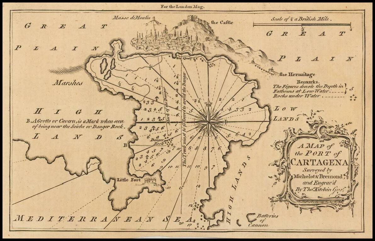
Detailed map of the port of Cartagena, Spain, published in the London Magazine.
Cartagena was, at the time, one of the most important ports for the Spanish Royal Navy.
If you are a student, write to us in telegram: @antiquemaps and indicate what material you need and for what work you need a map in high detail. We are ready to provide material on special terms. For students only!
![(Pro-Spanish Republic Political Broadside) [Lift The Embargo Against The Spanish Republic] President Roosevelt says . . .](/map/small/50218.jpg)

