Map size in jpg-format: 141.735MiB
Click to open in high resolution (open in new tab).

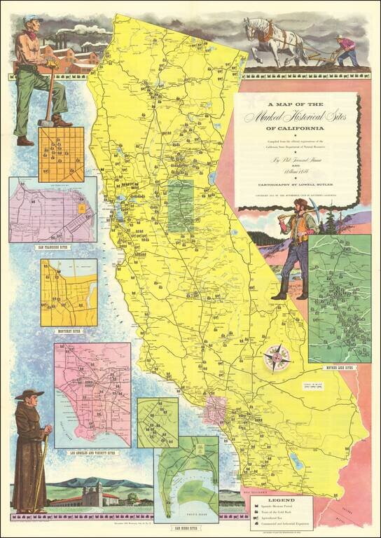
Interesting illustrated map of California, identifying each of the historical landmarks around the state, with inset maps of the area around San Diego, Los Angeles, San Francisco, Monterey and Gold Country.
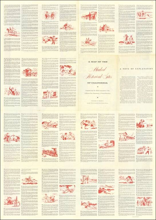
The landmarks are identified by whether they are from the Spanish-Mexican Period, Years of the Gold Rush, Agricultural Era or Commercial and Industrial Expansion era. The identified sites are listed on the verso.
If you are a student, write to us in telegram: @antiquemaps and indicate what material you need and for what work you need a map in high detail. We are ready to provide material on special terms. For students only!
![[Signed Political Satire Artwork] Vietnam ... Vietnam ... Vietnam ...](/map/small/68726.jpg)

