Map size in jpg-format: 11.1574MiB
Click to open in high resolution (open in new tab).
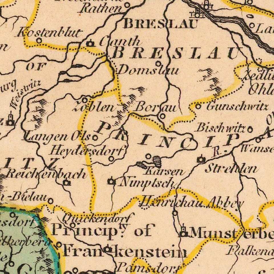
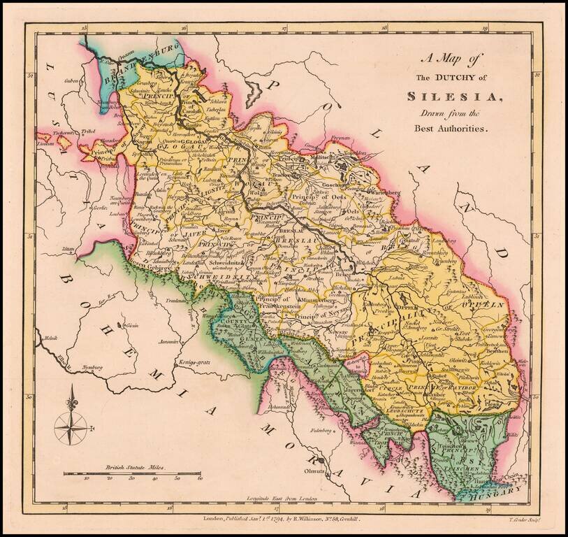
Scarce 18th Century English language map of Silesia, showing the region on either side of the Oder River.
Includes Principalities of Glogau, Wolau, Lignitz, Oels, Breslau, Javer, Schweidnitz, Brieg, Oppeln, Neysze Trahenberg Sagan, Carolath, Franckenstein, Ratibor, Leobshutz, Troppau, Teishen etc. Shows towns, rivers, mountains, lakes, etc. Very detailed.
Robert Wilkinson was active in London as a cartographic publisher from 1785 to 1825. He produced a number of nice works, including a General Atlas and a re-issuance of Bowen & Kitchen's English Atlas, along with excellent large format separate maps.
If you are a student, write to us in telegram: @antiquemaps and indicate what material you need and for what work you need a map in high detail. We are ready to provide material on special terms. For students only!


![[Hand Drawn Prussian Military Encampment at Opole, Poland] Special Grund-Riss Des Kaeyserl Feldl Lagers bey Oppeln in Ober Schlesien](/map/small/59726.jpg)