logo

1775. A Map of Pennsylvania Exhibiting not only the Improved Parts of that Province, but also Its Extensive Frontiers: Laid down from Actual Surveys, and Chiefly From The Late Map of W. Scull Published in 1770 . . .

  • A Map of Pennsylvania Exhibiting not only the Improved Parts of that Province, but also Its Extensive Frontiers:  Laid down from Actual Surveys, and Chiefly From The Late Map of W. Scull Published in 1770 . . .

A Map of Pennsylvania Exhibiting not only the Improved Parts of that Province, but also Its Extensive Frontiers: Laid down from Actual Surveys, and Chiefly From The Late Map of W. Scull Published in 1770 . . . information:

Year of creation: 
Resolution size (pixels): 
 32393x16876 px
Disk Size: 
 121.799MiB
Number of pages: 
 1
Place: 
 London
Author: 

Print information. Print size (Width x height in inches):
Printing at 72 dpi 
  449.9 х 234.39
Printing at 150 dpi 
 215.95 х 112.51
Printing at 300 dpi 
 107.98 х 56.25

An example of detailing the file of this map of in a printable high-resolution:

Click to open in high resolution (open in new tab).
Attention! this is just the central piece (central area 960x960 px) of the map file!
This is an example, so that you can see and study the level of detail of a given map. The entire Map will be fully available after payment!

A Map of Pennsylvania Exhibiting not only the Improved Parts of that Province, but also Its Extensive Frontiers:  Laid down from Actual Surveys, and Chiefly From The Late Map of W. Scull Published in 1770 . . .

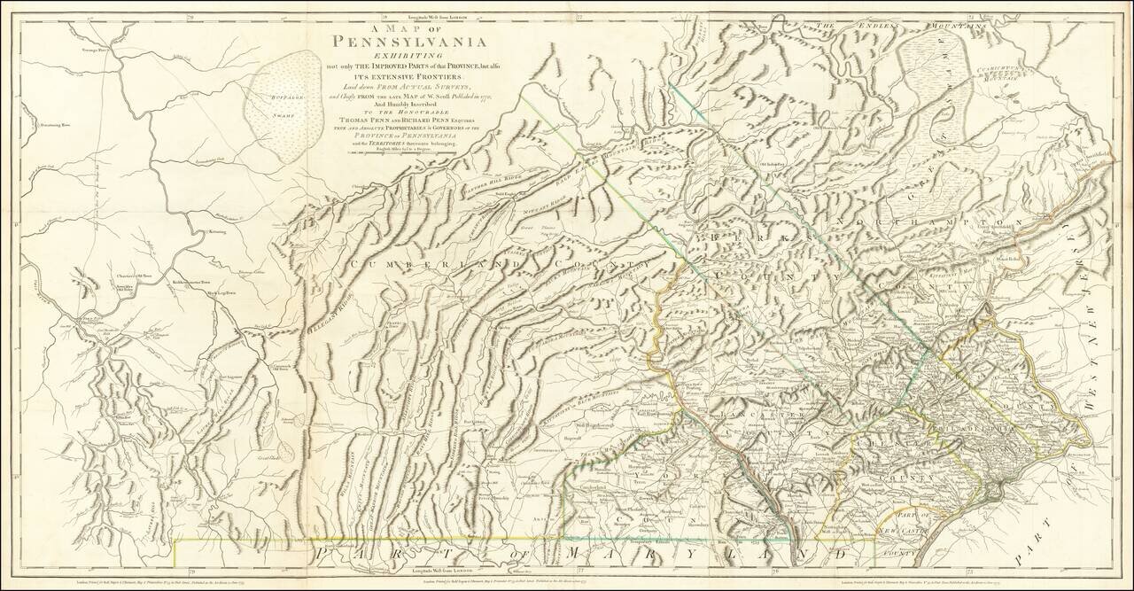
The Province of Pennsylvania on the Eve of the American Revolution

Important Revolutionary War-era map of Pennsylvania, compiled by Sayer & Bennett, primarily from William Scull's landmark map.

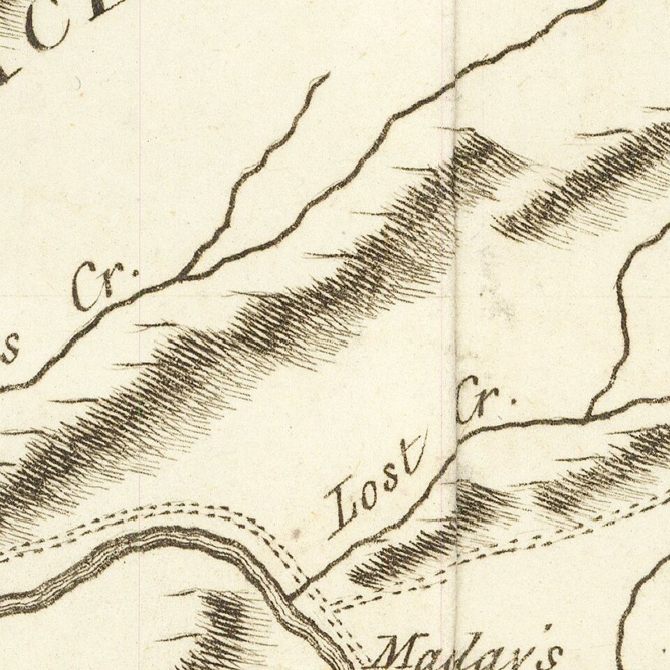
This large and impressive map of the colony of Pennsylvania was published just a few months after the battle of Lexington and Concord. The map relies heavily on the landmark map executed by William Scull in 1770. Scull's original map is exceedingly rare, and noteworthy for showing the extensive Pennsylvania frontier, including western roads, paths, forts, and other buildings, and the newly executed Mason-Dixon line.

Sayer & Bennett provide a revised and improved version of Scull's map, with clearer topographical delineations and including latitude and longitude markers. These improvements were likely added to aid British troops fighting in North America.

Issued separately and also as part of Jeffery's American Atlas, this map was perhaps the single most widely distributed and influential map of Pennsylvania of its time, and the primary image of Pennsylvania at the outset of the Revolution which would have been available to the American, British and European public.


Special conditions for students!

If you are a student, write to us in telegram: @antiquemaps and indicate what material you need and for what work you need a map in high detail. We are ready to provide material on special terms. For students only!

Item information:

Year of creation:
Size:
32393x16876 px
Disk:
121.799MiB
Number of pages:
1
Place:
London
Author:
Nicholas Scull.
$29.99

Related item