logo

1940. A Map of Cape Cod

  • A Map of Cape Cod

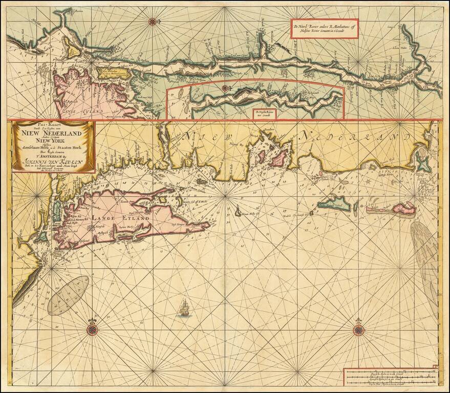
Map size in jpg-format: 99.2438MiB

Download "A Map of Cape Cod", in high resolution.

A Map of Cape Cod information:

Year of creation: 
Resolution size (pixels): 
 21708x16289 px
Disk Size: 
 99.2438MiB
Number of pages: 
 1
Place: 
 East Brewster, MA
Author: 

Print information. Print size (Width x height in inches):
Printing at 72 dpi 
  301.5 х 226.24
Printing at 150 dpi 
 144.72 х 108.59
Printing at 300 dpi 
 72.36 х 54.3

An example of detailing the file of this map of in a printable high-resolution:

Click to open in high resolution (open in new tab).
Attention! this is just the central piece (central area 960x960 px) of the map file!
This is an example, so that you can see and study the level of detail of a given map. The entire Map will be fully available after payment!

A Map of Cape Cod

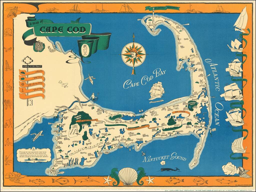
One of the best vintage pictorial maps of Cape Cod, printed in black, blue, green, and orange. The mapmaker is Paul Paige of East Brewster, Mass.

The "Key to the Cape" incorporates an actual key and illustrates Airports, Golf Courses, Life Saving Stations, and Yacht Clubs.

U.S. Highway 6 is shown: "This End Provincetown... The Other End Los Angeles."

The map includes a verse in the lower-left corner:

If you have ever been there, this map is meant for you To help recall some happy days beside the ocean blue; Or you can send it to a friend, that they perhaps may see, Why people love good old Cape Cod, and go there constantly.

Rumsey 11271.

Special conditions for students!

If you are a student, write to us in telegram: @antiquemaps and indicate what material you need and for what work you need a map in high detail. We are ready to provide material on special terms. For students only!

Item information:

Year of creation:
Size:
21708x16289 px
Disk:
99.2438MiB
Number of pages:
1
Place:
East Brewster, MA
Author:
Paul Paige.
$21.99

Related item