Map size in jpg-format: 27.3192MiB
Click to open in high resolution (open in new tab).
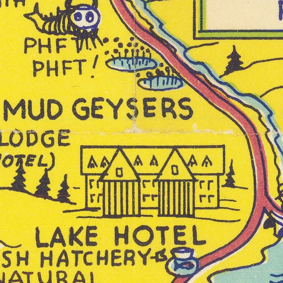
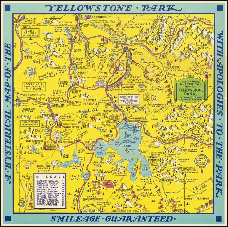
Scarce 1948 edition of the Jolly Lindgren map of Yellowstone, "Hatched & Scratched by Jolly Lindgren."
This edition adds the table of miles at bottom left, among other changes, including the addition of Pilot Peak at the top right corner.
This comic pictorial map is full of puns and comic vignettes related to Yellowstone and environs.
The Lindgren Brothers issued a number of other silly whimsical maps of national parks and other parts of the West. This is one of two Yellowstone maps.
If you are a student, write to us in telegram: @antiquemaps and indicate what material you need and for what work you need a map in high detail. We are ready to provide material on special terms. For students only!

![Carte Du Mexique et de la Floride des Terres Angloises et des Isles Antilles du Cours et des Environs de la Riviere Mississipi . . . Rue Des Canettes . . . 1703 [1st State]](/map/small/66307op.jpg)