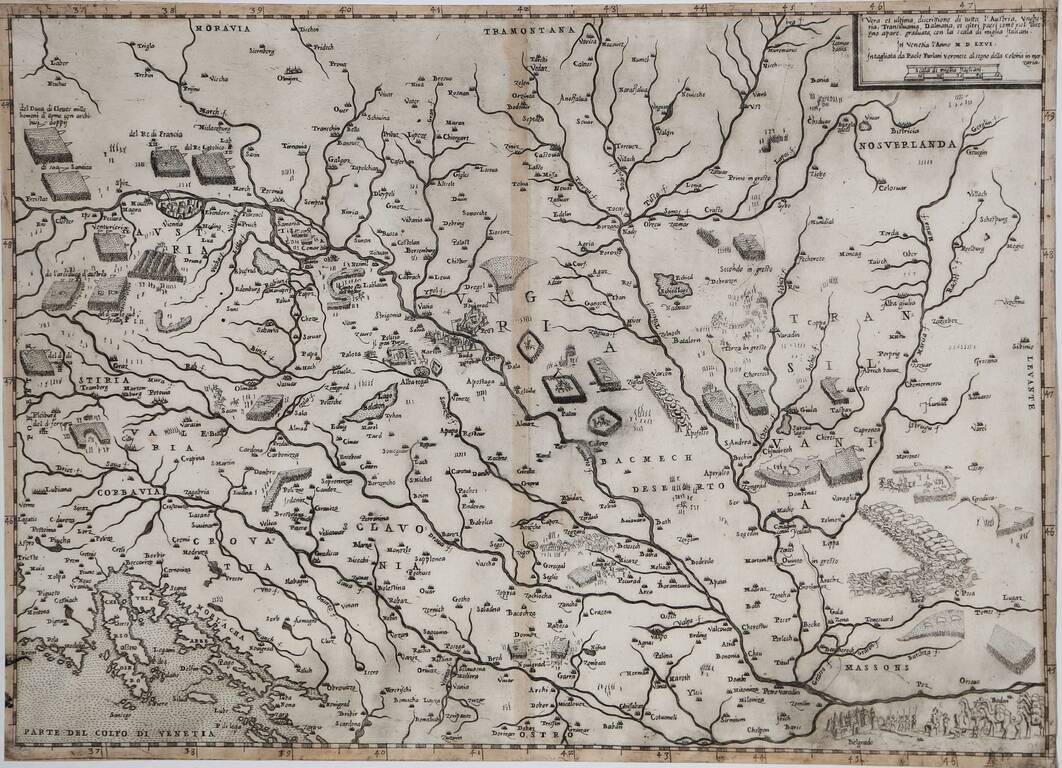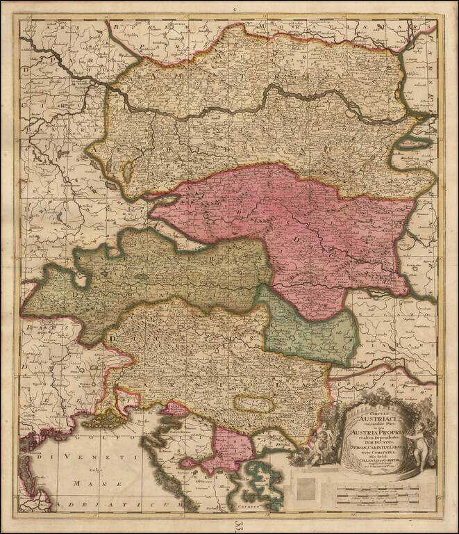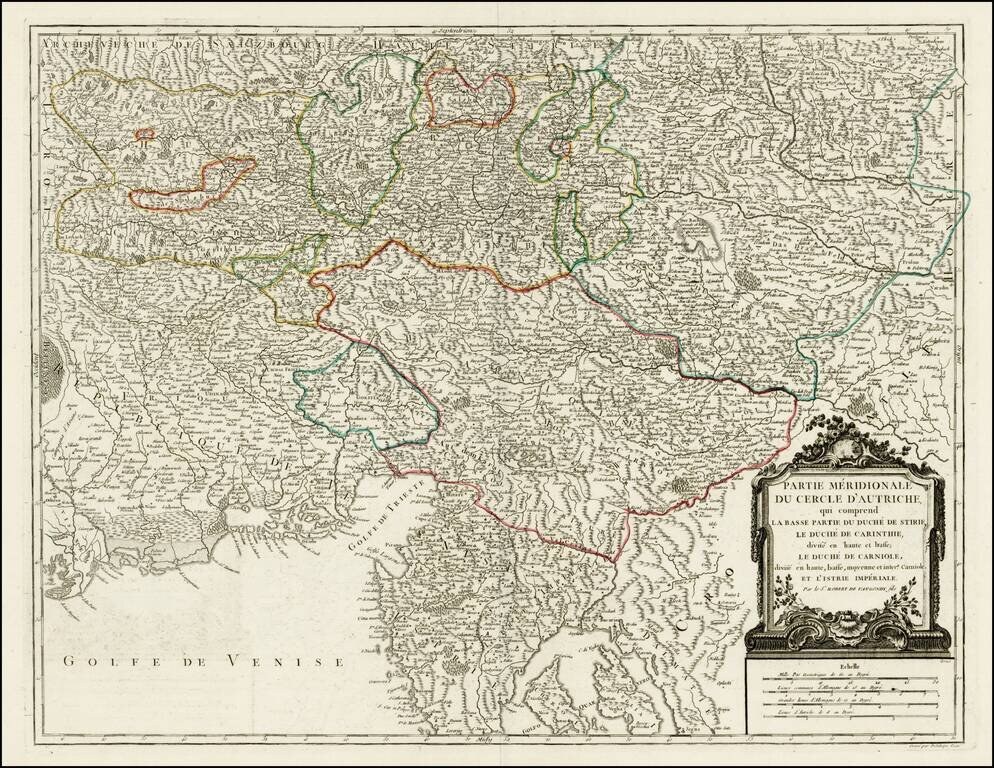
Map size in jpg-format: 13.384MiB
Click to open in high resolution (open in new tab).
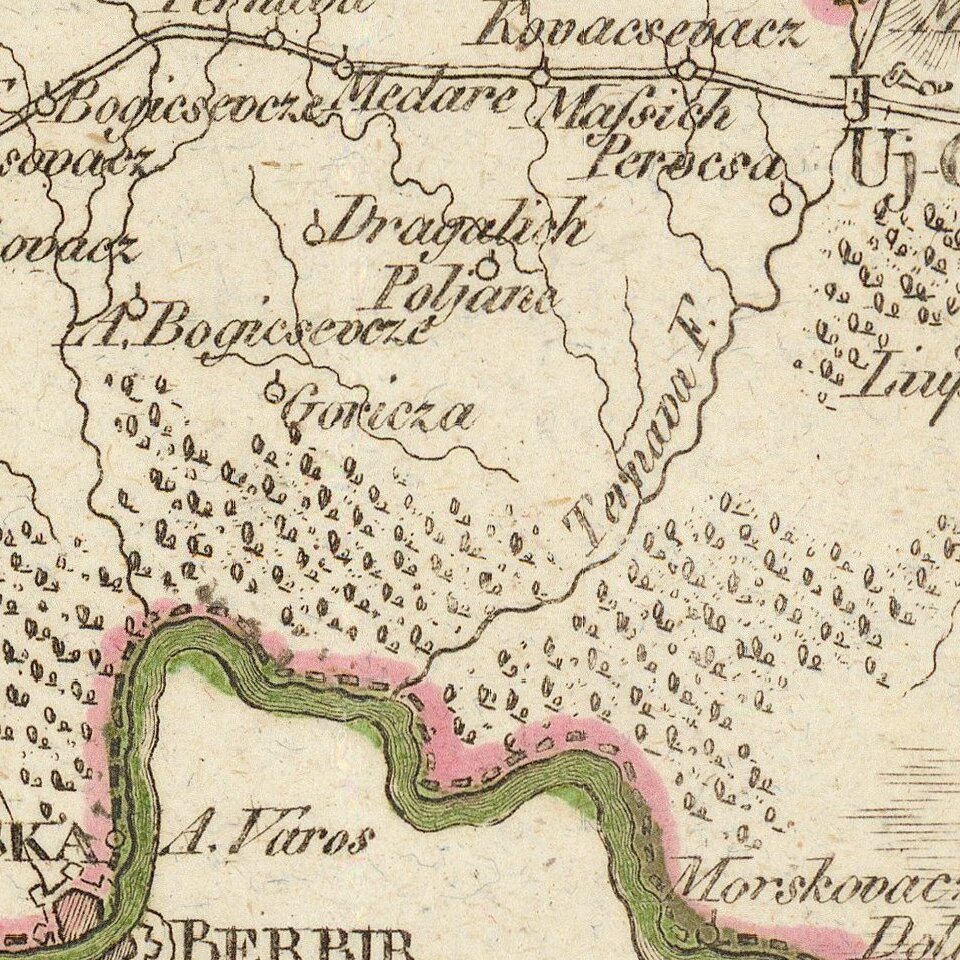
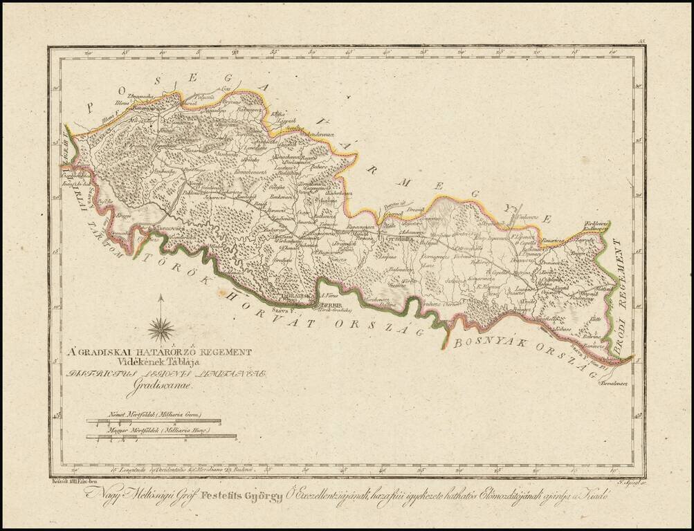
Finely engraved hand colored in outline map of the Gradisca region.
Showing administrative boundaries, cities, towns, rivers, forests and mountains. Includes compass rose. Relief shown by hachures.
The map is from Gorog's Magyar Atlas, the first modern atlas of Hungary, prepared using modern surveys and methods. It was first issued incomplete with a title page in 1802, with the remaining sheets being issued over the course of the next 9 years between 1796-1811.
If you are a student, write to us in telegram: @antiquemaps and indicate what material you need and for what work you need a map in high detail. We are ready to provide material on special terms. For students only!