Map size in jpg-format: 712003B
Click to open in high resolution (open in new tab).
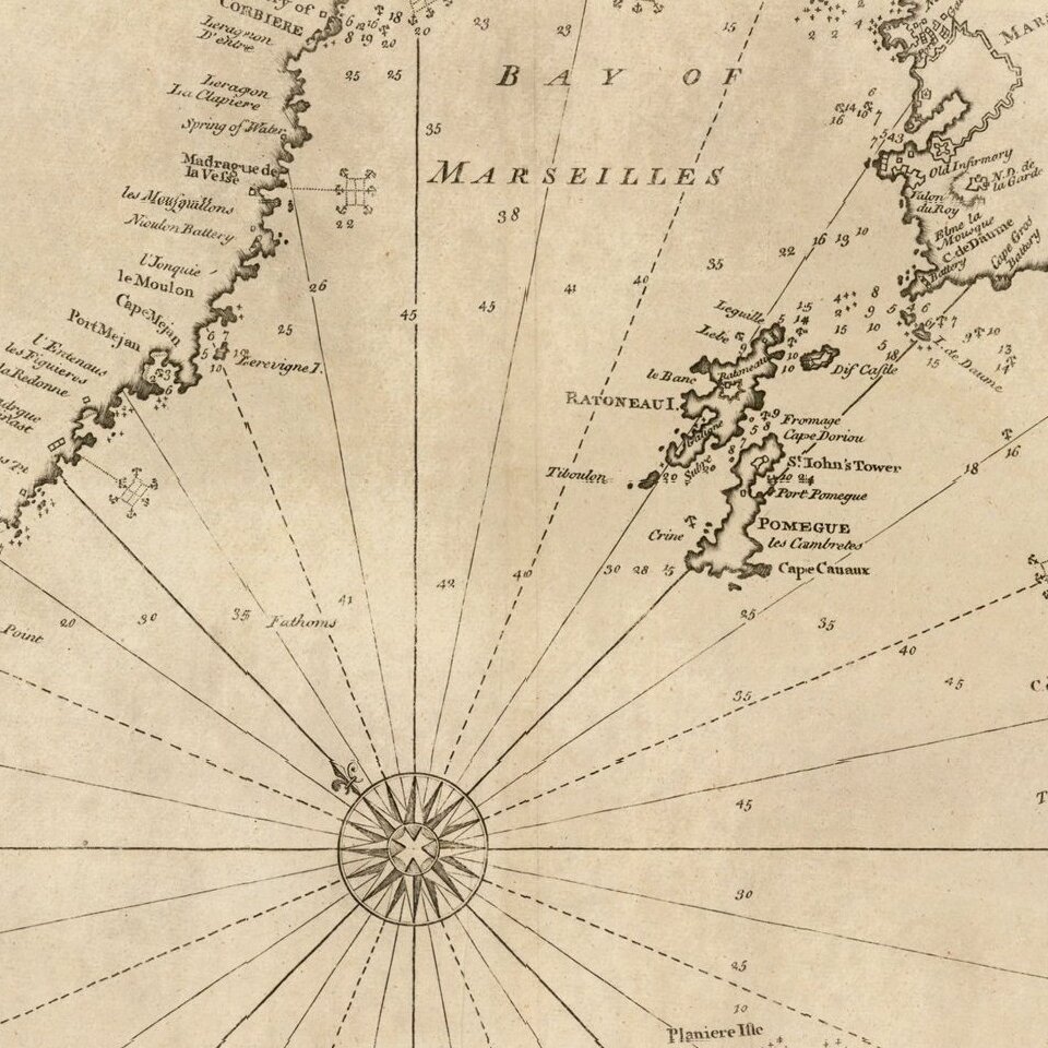
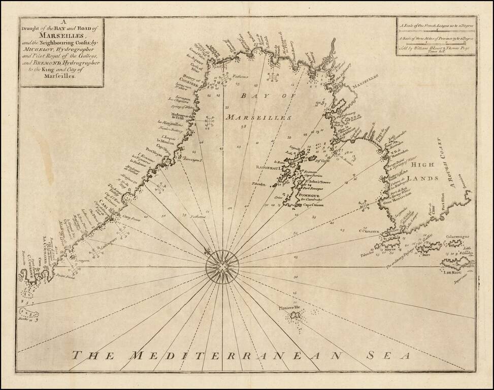
Striking chart of area around the Bay of Marseille, based the chart of the Marseilles region published in Henri Michelot and Laurent Bremond's Carte Generalle dele Mer Mediterranee.
The map appeared in Mount & Page's English Pilot, Book III.
Covers the Mediterranean coast from Cape Courone to Sormiou. Several islands are shown including Ratoneau, Pomegue, Mayre, Iare, Calaceraigne and Riou.
If you are a student, write to us in telegram: @antiquemaps and indicate what material you need and for what work you need a map in high detail. We are ready to provide material on special terms. For students only!
![Carte d'Etude [Study Map]](/map/small/66795.jpg)
![Orange [Vauban Style Fortress]](/map/small/62043.jpg)
