Map size in jpg-format: 12.8337MiB
Click to open in high resolution (open in new tab).
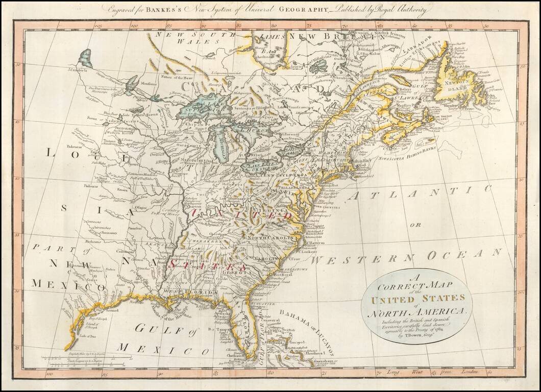
Early map of the United States, colored by regions and Colonies.
The map was published shortly after independence, and prior to the admission of Kentucky, Tennessee or Vermont as states, although Vermont is named quite curiously, appearing above "Hampshire."
Both East and West Florida are shown. Many Indian tribes shown.
If you are a student, write to us in telegram: @antiquemaps and indicate what material you need and for what work you need a map in high detail. We are ready to provide material on special terms. For students only!

![[Signed Political Satire Artwork] Vietnam ... Vietnam ... Vietnam ...](/map/small/68726.jpg)
