Map size in jpg-format: 11.65MiB
Click to open in high resolution (open in new tab).

An indispensable American atlas, representing the beginning of the hand-colored commercial atlas business in the United States. Includes Stephen H. Long's seminal map of the American West.
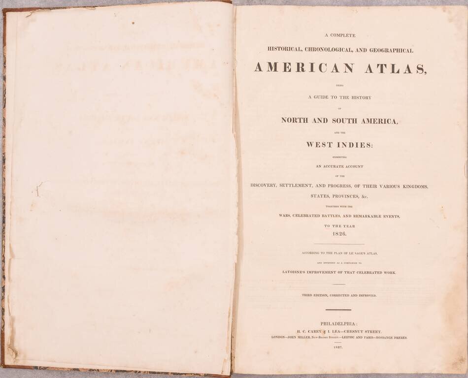
Unusually clean and bright throughout. A truly handsome example of the 1827 edition (first published in 1822) of Carey and Lea's atlas of the Americas. While earlier hand-colored atlases had been issued in the United States (for instance by Fielding Lucas Jr., who also drew maps for the present volume), Carey and Lea's was by far the most popular and important of what Foster referred to as the first American war of atlases. The book substantially popularized the Lavoisine format that would be widely copied thereafter, in the atlases of Buchon in France, Weiland in Germany, and Garcia Cubas in Mexico.
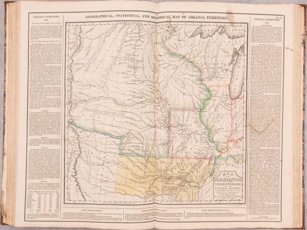
The most important cartographic contribution of the Carey and Lea atlas is the inclusion of the Long Map of the American Plains. Wheat (II, page 81) says of it:
Carey and Lea's Atlas of 1822 carried a 'North America' on which, along with Pike's vagaries, is displayed Long's discovery of the true course of the Canadian, while Missouri Territory is carried west of the Rockies. The most interesting map in this Atlas, however, is headed 'Geographical, Statistical and Historical Map of Arkansas Territory,' which is in reality Long's map, covering the Missouri Basin north to Mandan villages and west to the Rockies. 'Highest Peak,' James Peak and Spanish Peaks appear, as on [Stephen H.] Long's manuscript map, and his expedition's routes are set forth. Just south of the Republican Fork appears the significant legend, 'The Great Desert is frequented by roving bands of Indians who have no fixed places of residence but road from place to place in quest of game.' In fact, in large part this map is Long's map, and is so stated in its title.If you are a student, write to us in telegram: @antiquemaps and indicate what material you need and for what work you need a map in high detail. We are ready to provide material on special terms. For students only!
![[Blaeu Atlas of America] America, Quae Est Geographiae Blavianae Pars Quinta Liber Unus Volumen Undecimum](/map/small/66852.jpg)