
Map size in jpg-format: 1.27534MiB
Click to open in high resolution (open in new tab).
Fine Chart of the Atlantic from an Influential Atlas
Scarce sea chart of the Atlantic Ocean from the important Atlas Maritimus et Commercialis, published in London in 1727.
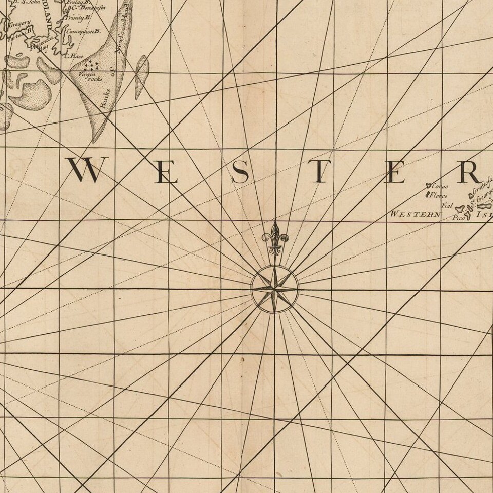
The map provides a detailed treatment of the East Coast of North America, during its early colonial period. The depiction of Florida and the Florida Keys is especially fascinating. It also shows the western coasts of Europe and North Africa,
The chart is on a Mercator projection, here also called Mr. Wright's projection. Mr. Wright is Edward Wright, who corrected the Mercator projection in an important chart published in Certaine Errors in Navigation in 1599. His was the first world chart published in England, and the first on the Mercator projection since Mercator's 1569 chart.
Atlas Maritimus et Commercialis
This chart was included in an important English maritime atlas of the early-eighteenth century, the Atlas Maritimus et Commercialis. The atlas included a geography text, sailing directions, and sea charts. It was published by, among others, the Knapton brothers, who were also responsible for some of the bestselling voyage accounts of the early- to mid-eighteenth century, including those of William Dampier.
The atlas was published specifically to rival the English Pilot, a five-volume work that was published first by John Seller, and then by his son, Jeremiah, and his partner, Charles Price, and then by Mount & Page. To differentiate it from the competition, the Atlas was published in one volume. It also featured the western and southern coasts of the Americas, which were not included in the Pilot.
Much of the text of the work is attributed to Daniel Defoe who, in addition to writing Robinson Crusoe, was also an eager advocate of colonial expansion and overseas trade. The atlas is usually attributed to John Senex, John Harris, and Henry Wilson. Nathaniel Cutler is thought to have contributed to the charts and to have written the sailing directions, which Edmund Halley supposedly edited. Edmund Halley is also mentioned on the title page as approving the projection, which most likely refers to a globular projection developed by Senex, Harris, and Wilson.
In 2015, a complete example of the atlas sold for £27,500 at Christie's in London. While the collaboration was impressive, the atlas never achieved the same commercial success. As such, the charts are quite scarce on the market.
If you are a student, write to us in telegram: @antiquemaps and indicate what material you need and for what work you need a map in high detail. We are ready to provide material on special terms. For students only!


