Map size in jpg-format: 49.495MiB
Click to open in high resolution (open in new tab).
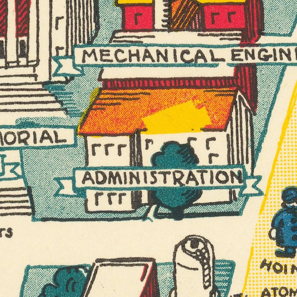
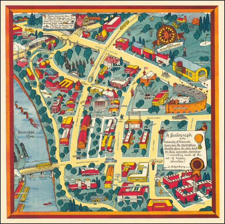
Nadine Semans's Map of the University of Minnesota.
Excellent pictorial map covering the University of Minnesota's original "East Bank" campus.
Published by the Dayton Company to promote Dayton's University Store, a note in the upper left corner reads thusly:
Dayton's University Store / The Shops for College Gals and Men are overflowing with the smartest clothes and accessories in the University World. The Tent and Dungeon cater to Collegiate appetites at very moderate prices.
Nadine Semans's Maps of the University of Minnesota
Nadine Semans was a talented Minnesota illustrator who did a number of wonderful local pictorial maps, including at least four different maps of the University of Minnesota campus. We are aware of the following:
1927. A Map Shewing the Campus The Buildings and the Idiosyncrasies of the University of Minnesota Designed, Executed and Published by Nadine Evers and Elizabeth Paige May.
1935 ca. A Cartograph of the University of Minnesota drawn from the stratosphere directly above the river bank on three successive mornings - revealing much of the art of higher education! (30 x 30 inches)
1940. A Cartograph of the University of Minnesota drawn from the stratosphere directly above the river bank on three successive mornings - revealing much of the art of higher education! (18.5 x 18.5 inches)
1947 ca. A Cartograph of the University of Minnesota drawn from the stratosphere directly above the river bank on three successive mornings - revealing much of the art of higher education! (18.5 x 18.5 inches)
Nadine Semans (24 Nov 1901 - 30 Apr 1993) was a Minnesota-based illustrator and mapmaker. Her output consists primarily of pictorial maps of contemporary and retrospective Minnesota subjects. All of her maps are now rare.
If you are a student, write to us in telegram: @antiquemaps and indicate what material you need and for what work you need a map in high detail. We are ready to provide material on special terms. For students only!