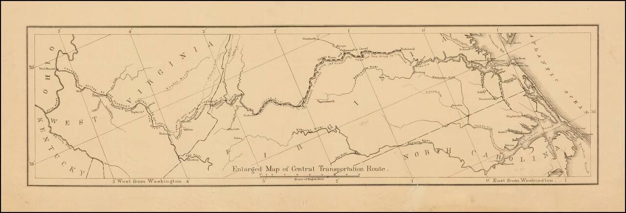
Detailed map showing the ransportation routes from the Ohio River to the James River. The map is ordinarily one of 4 maps on a single sheet. This example is likely an offprint, which was issued separately.
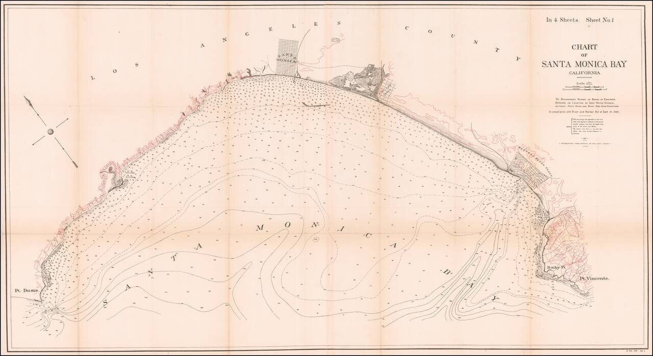
Fine 19th Century Sea Chart of Santa Monica Bay Detailed 4 sheet map of Santa Monica Bay, illustrating a report considering the feasibility of locating a deep water harbor in Santa Monica Bay, conducted by the Army Corps of Engineers in 1890. The...