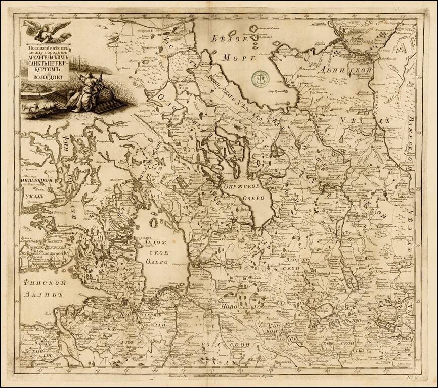
Fine example of the rare map of the region of Petroburgum, from the Russian Academy of Science's Russischer Atlas : Welcher in einer General-Charte und neunzehen Special-Charten das gesamte Russische Reich . . . , first pubished in St. Petersburg in...
![[The Course of the Neva River from Lake Lagoda to St. Petersburg] Теченїе Невы рѣки изъ-ладожского озера къ Ст: Петербургу.](/map/small/59696.jpg)
Russian-Language Map of the Neva River, Running Between Lake Lagoda and St. Petersburg. Engraved map of the Neva River from the 1745 Atlas Russicus. The cartouche includes allegorical figures and the coats of arms of St. Petersburg and the Russian...
![Генеральной Планъ Калужскаго Уѣзда. [General Plan of the Kaluga Department.]](/map/small/58518.jpg)
The General Map of the Kaluga Department from the Межевая экспедиция Mapping of Russia. Detailed engraved cadastral map of the Kaluga region in western Russia. The map is characteristic of the modern surveying that began in Russia...
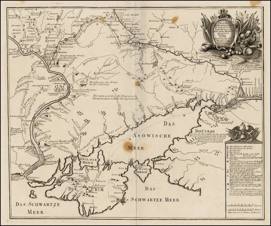
Very rare separately published map of the southern part of Ukraine, published by the Royal Academy in St. Petersburg. The map provides a detailed account of the battles between the Russian and Turkish Armies. The map was later copied in Augsburg by...