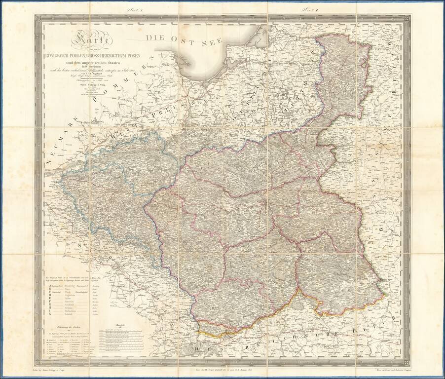
Large folding map of Poland and environs, published in Berlin.
The map is subdivided into region, A to K.
Includes towns, rivers, forests, postal roads and a host of other details.
antiquemaps.ru is sale. 12,000+ superb pieces of vintage collectible printable 300dpi maps - total 300GB high resolution rare and antique old map archive!
antiquemaps.ru website use cookies, local storage and other similar technologies. This is necessary to ensure the full functionality of our services. Using our services and sites after reading this notice means that you have given your consent to their use in your browser. Click "OK" to confirm your agreement