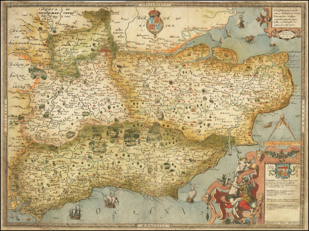
The First Printed Map of Kent, Sussex, Surrey and Middlesex, drawn from Christopher Saxton's 16th Century Survey of England. Fine example of Christopher Saxton's map of Kent, Sussex, Surrey and Middlesex, dated 1575, the 17th year of the Reign of...
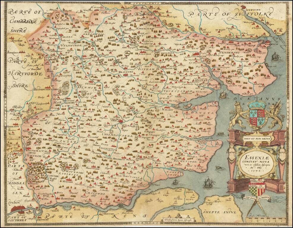
The First Printed Map of Essex A fabulous Saxton map of Essex, showing the county at a time when it nearly reached the City of London. The detail on the map is fabulous, with many cities and townships displayed. Parts of adjacent counties, including...
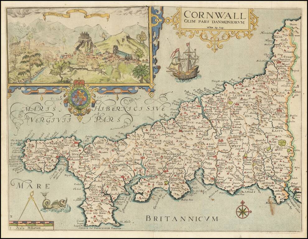
Attractive full color example of Christopher Saxton's map of Cornwall, from the 1637 edition of Camden's Britannia. Decorated with a strapwork title cartouche and an inset of Launceston, the Royal Arms, galleon, sea-monster, a pair of compasses on the...