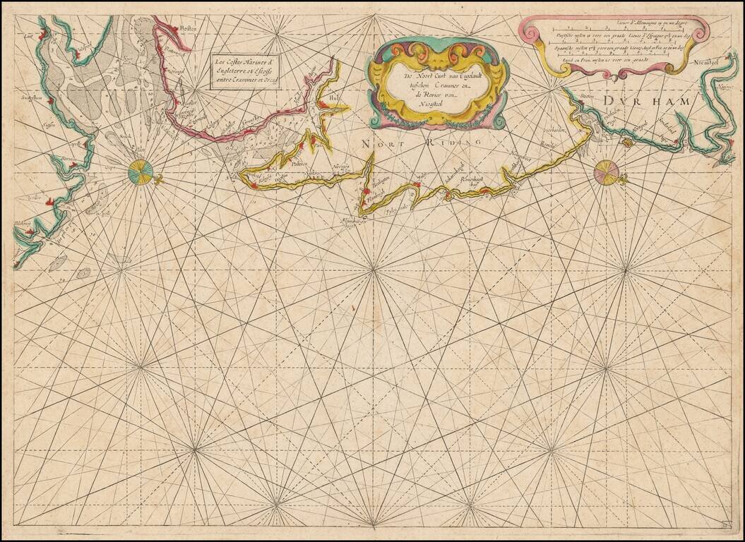
Rare Dutch Sea chart of the Coast of England, published by Jacob Colom, circa 1639. The map appeared in Colom's The New Fierie Sea-Colomne, one of the earliest of Colom's works. Oriented with west toward the top, the chart extends from Cromer in the...
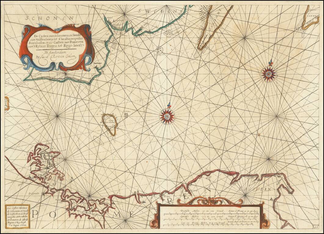
Rare early Dutch sea chart, pubished in Amsterdam by Jacob Colom. The map covers the coastlines of western Poland, Pomerania and part of southern Sweden. The chart appeared in one of the earliest Dutch Sea Atlases. The only example of the map we...