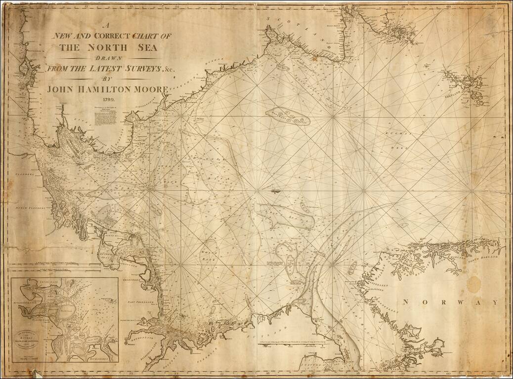
Exceedingly rare early commercial Sea Chart of the North Sea by John Hamilton Moore, published in London. Moore was one of the earliest blue back chart publishers working in London. The present chart is apparently the second edition, after an edition...
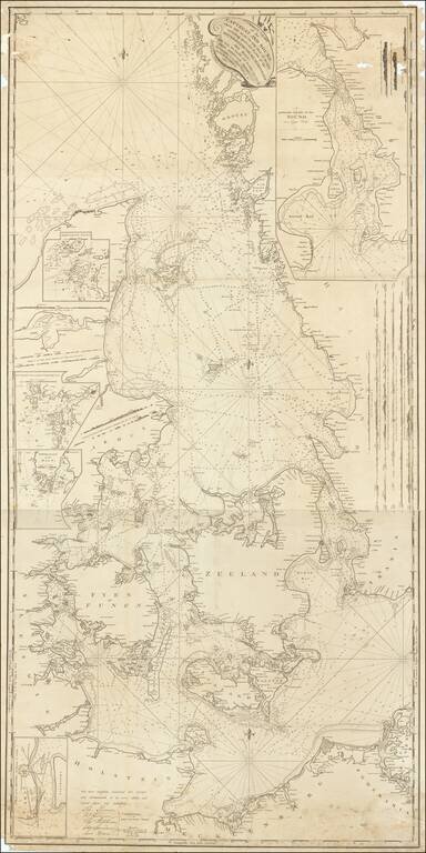
Signed By the Captain of the USS Congress Rare English Sea chart, published in London by John Hamilton Moore. The chart shows the region between Sweden and Denmark, extending to Rugen and the German coastline. John Hamilton Moore (1738-1807) was a...