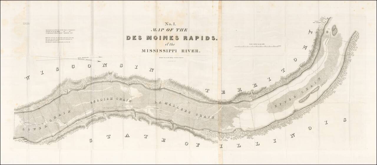
Finely detailed map of the section of the Mississippi River, showing the Des Moines Rapids in the area of Fort Des Moines, based upon the surveys of Lieutenant Robert E. Lee of the US Corps of Engineers.
The Des Moines Rapids was one of two major...
antiquemaps.ru is sale. 12,000+ superb pieces of vintage collectible printable 300dpi maps - total 300GB high resolution rare and antique old map archive!
antiquemaps.ru website use cookies, local storage and other similar technologies. This is necessary to ensure the full functionality of our services. Using our services and sites after reading this notice means that you have given your consent to their use in your browser. Click "OK" to confirm your agreement