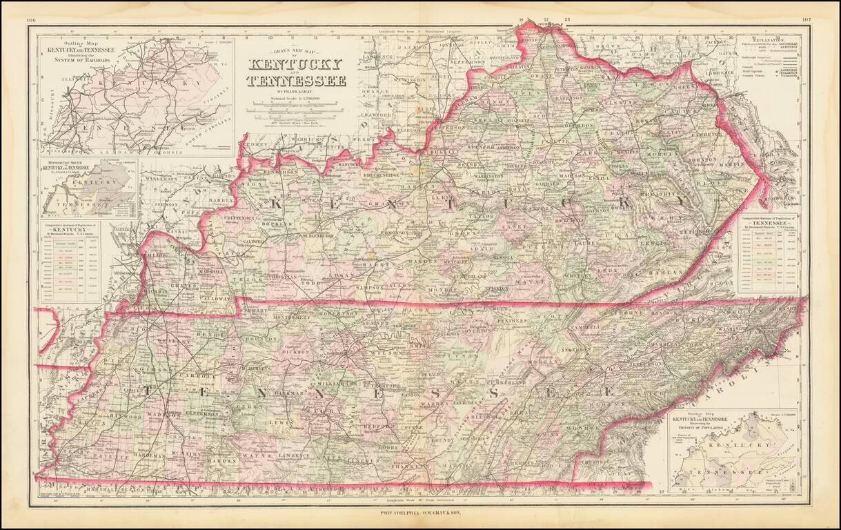
Detailed large format map of Kentucky and Tennessee, published by OW Gray in Philadelphia.
The map is colored by counties and showing remarkable details for the period.
Inset maps including a rail system and population density chart.
antiquemaps.ru is sale. 12,000+ superb pieces of vintage collectible printable 300dpi maps - total 300GB high resolution rare and antique old map archive!
antiquemaps.ru website use cookies, local storage and other similar technologies. This is necessary to ensure the full functionality of our services. Using our services and sites after reading this notice means that you have given your consent to their use in your browser. Click "OK" to confirm your agreement