
Early Map of the America's Southern States and Territories Early American printed map of the Southern portion of the United States, extending from the Atlantic to the Mississippi and showing part of Kentucky. Georgia is now truncated near its current...
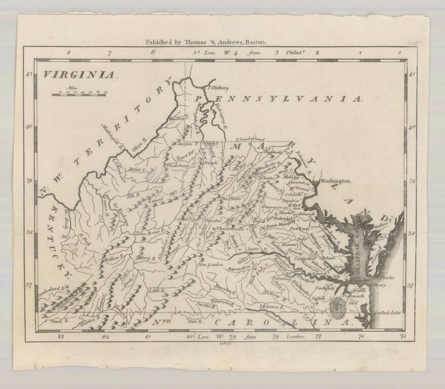
Fine early map of Virginia, published by Jedidiah Morse for his New American Universal Geography, first published in 1796. The map focuses on the topographical features of Virginia, along with naming its major towns. One of the earliest maps of...