Laurie & Whittle refers to the partnership of Robert Laurie (1755?-1836) and James Whittle (1757-1818), engravers and map publishers. Both men were employed by Robert Sayer (ca. 1724-1794), one of the most prominent British publishers and map sellers of the eighteenth century. Sayer died in 1794 and his business was taken over by his assistants. The two worked together as Laurie & Whittle until 1812, when Laurie retired. They were especially known for publishing sea charts and maritime atlases. From 1812-1818, when he died, Whittle worked with Laurie’s son, Richard Holmes Laurie, as Whittle & Laurie. After 1818, the firm was known as R. H. Laurie, even though Richard died in 1858. Later, the firm was managed by Laurie’s draughtsman, Alexander George Findlay, and, later, Daniel and William Kettle.
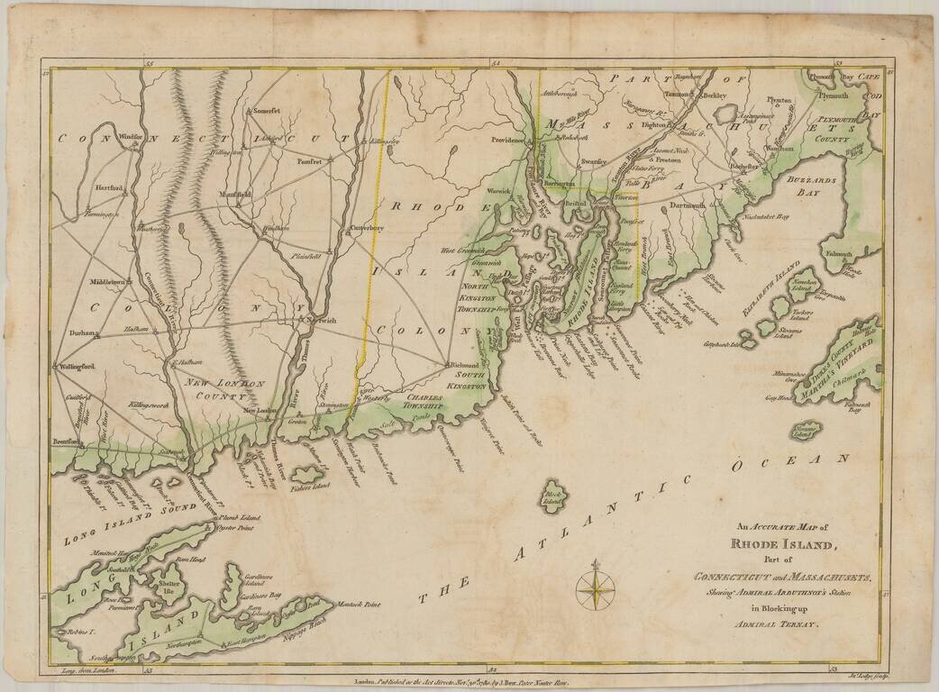
Scarce map of the Rhode Island and contiguous parts of Massachusetts, Connecticut, Long Island, Block Island, Martha's Vineyard, etc. The map illustrates Admiral Mariot Arbuthnot's blockade of Narrangasett, Rhode Island, shortly after the arrival of...
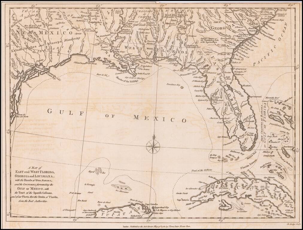
Antique Map of the Southeast United States During The American Revolution. Scarce Revolutionary War period map of the Southeastern part of the British Colonies in North America, Gulf Coast and Caribbean, illustrating the course of the Spanish Galleon...
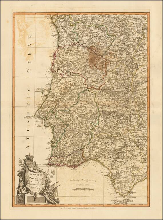
Beautiful double-page engraved map of Portugal, encompassing the Straits of Gibraltar, by John Lodge. The map features an elaborate cartouche in the lower left corner with the coats of arms of Portugal and Algarve. Algarve was a nominal kingdom in the...