![[The United States in the Late 19th and Early 20th Centuries] Соединенные Штат Америки в Конце XIХ-Начале ХХ в [Imperialist Aggression of the United States at the End of the 19th - Beginning of the 20th centuries] Империалистическая Агрессия Сша в Конце Х](/map/small/63800.jpg)
Anti-America Historical School Map, Issued in the Final Year of the Soviet Union. A fascinating school wall map of the United States, focusing on controversial aspects of American history in the 19th and early 20th century, published in Moscow in 1991...
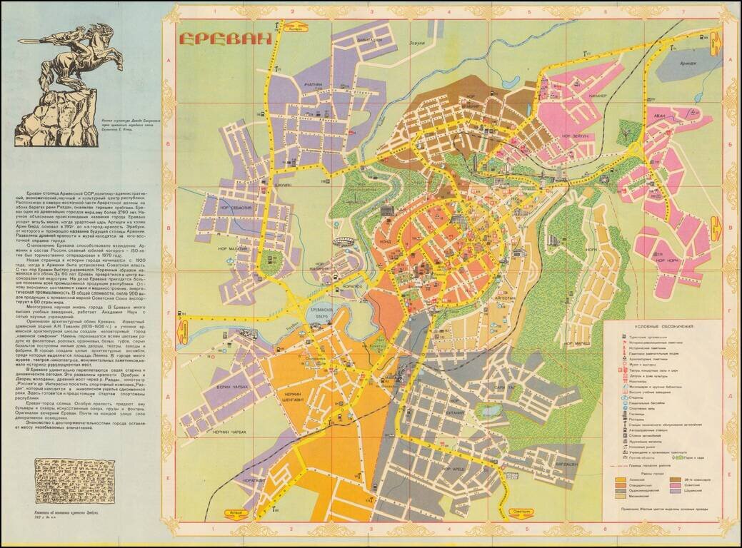
Beautiful color-printed Soviet-era map of Yerevan, then-capital of the Armenian SSR. This is a somewhat typical Soviet era tourist map, highlighting the major parks, and neighborhoods of Yerevan. It includes a panel on the history of the city, and on...
![ОДЕССА (Odessa) - ЦЕНТРАЛЬНАЯ ЧАСТЬ ГОРОДА (Downtown) [Inset]](/map/small/48944.jpg)
Attractive color-printed folding map of Odessa, issued in Moscow as part of a series of tourist maps for medium to large cities in the USSR. Points of interest are shown. Various parks, places for leisure activity, and public transit are all described...