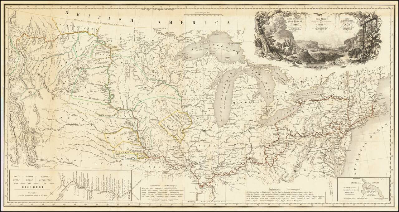
One of the Finest Early Maps of The Missouri Valley & American Plains Nice example of this remarkable map illustrating the account of the travels of Prince Alexander Phillip Maximilian, of Wied's, in the Plains and Rocky Mountain regions, in the...
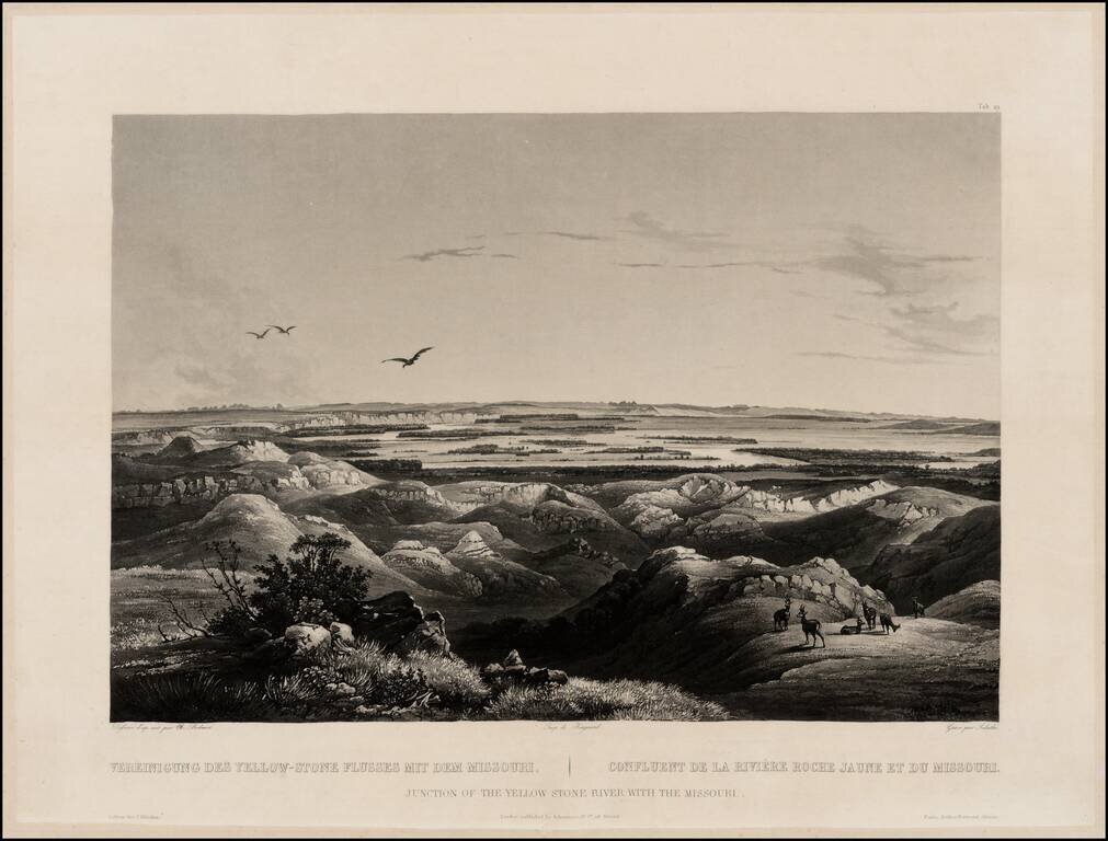
Finely executed view of the Junction of the Missouri and Yellowstone Rivers, from Maximilian, Prince of Wied's Travels in the Interior of North America, during the years 1832-1834, including blindstamp. The view provides a fine image of the confluence...