![Map of the United States and the Provinces of Upper & Lower Canada, New Brunswick, and Nova Scotia. Compiled from the latest Surveys . . . 1827 [Case Map in 4 sheets]](/map/small/43908bm.jpg)
One of the best large format maps of the United States published in the 1820s, including the location of several short-lived forts and Fur Trading houses between the Missouri and Mississippi River Valleys. Walker's case map of the United States is one...
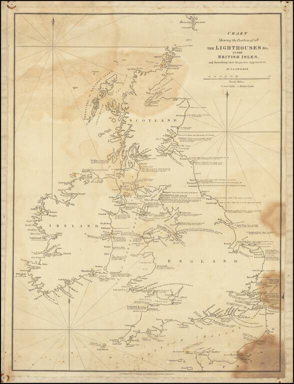
Fine, Rare Sea Chart Highlighting the Lighthouses of the British Isles Rare J & A Walker sea chart locating all of the lighthouses in the British Isles, including extensive notes on the appearances of the lights. The chart includes the southern...
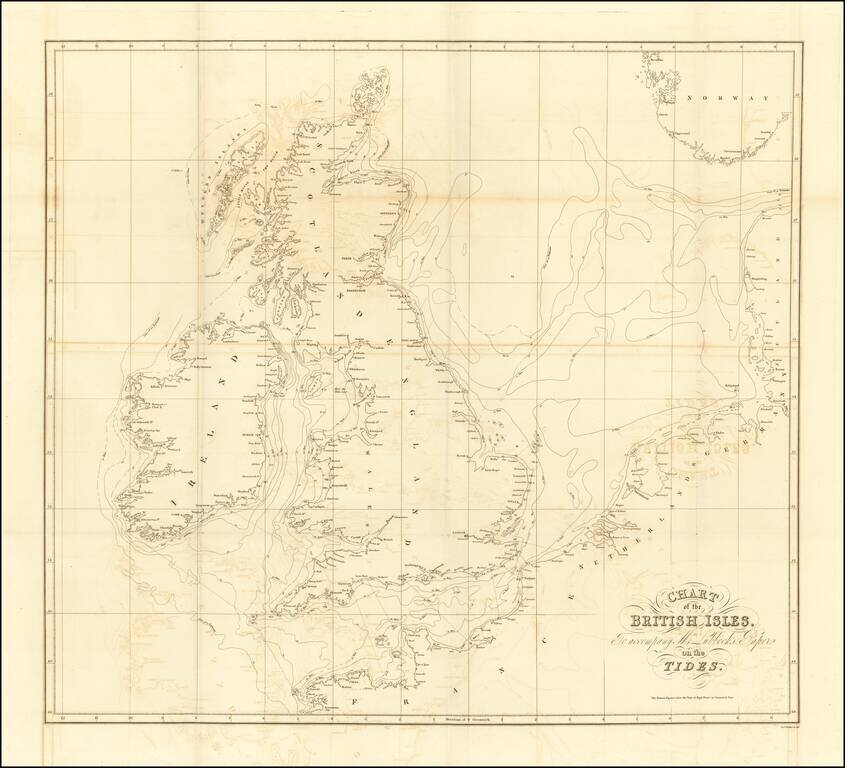
Lubbock’s Map of the Tides—the Early Work of a Skilled Man of Science Finely-engraved map of the British Isles and its tides, published to illustrate a paper on tidal flows presented by John William Lubbock to the Royal Society of London in 1831....