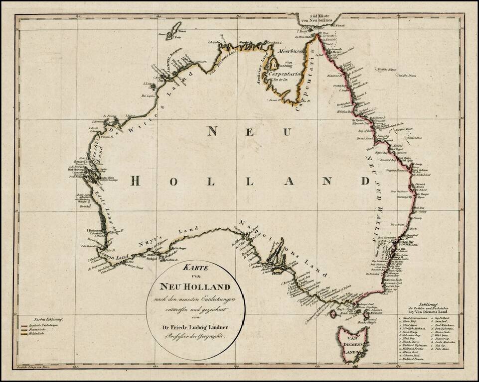
An early map of Australia showing a completed coastline, Bass Strait and the discoveries of both Baudin and Flinders.
The coloring on the coasts is coded to denote the discoveries made by the English, French and Dutch. The map identifies most of...
antiquemaps.ru is sale. 12,000+ superb pieces of vintage collectible printable 300dpi maps - total 300GB high resolution rare and antique old map archive!
antiquemaps.ru website use cookies, local storage and other similar technologies. This is necessary to ensure the full functionality of our services. Using our services and sites after reading this notice means that you have given your consent to their use in your browser. Click "OK" to confirm your agreement