logo

Pedro Pico

Pedro Pico


1

1846 - Plano Topografico de la ciudad y cercanias de Montevideo. En el que se demuestra las posiciones de las fuerzas de la plaza y las del ejercito sitiatdor. Levantado por el Agrimensor D. Pedro Pico. 1846

  • $14.99

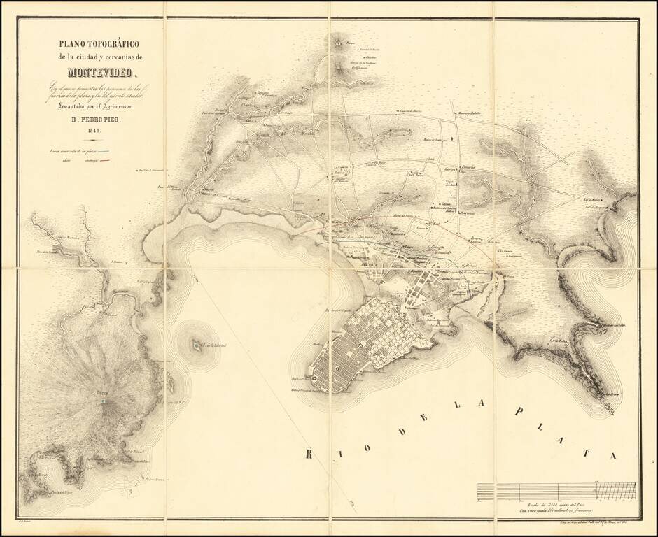
Rare early plan of Montevideo, in the midst of the Great Siege of Montevideo between 1843 and 1851, during the Uruguayan Civil War. The map illustrates in Red and Blue the lines of the enemy (red) and defensive forces (blue) protecting the city in...