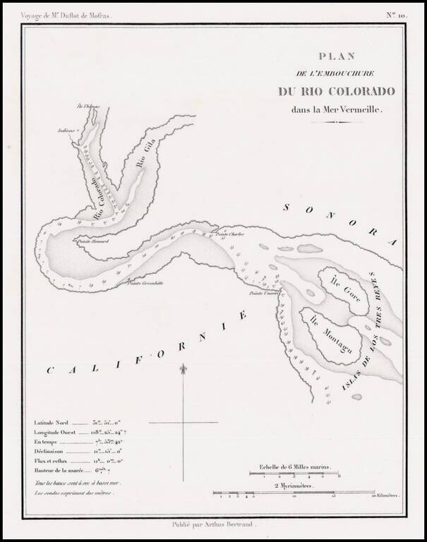
Rare early map showing the confluence of the Gila River and the Colorado River, along with the Northern tip of the Gulf of California, then also known as the Red Sea, because of the color of the water which flowed from the Rio Colorado (Red River) into...
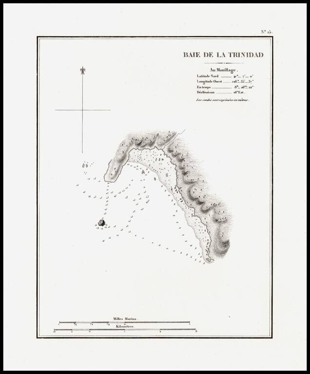
The earliest separately issued map of Trinity Bay, which appeared in Duflot de Mofras' report of his travels on the West Coast of North America. In 1839, Eugene Duflot de Mofras, was assigned to the embassy in Mexico City and instructed to visit the...
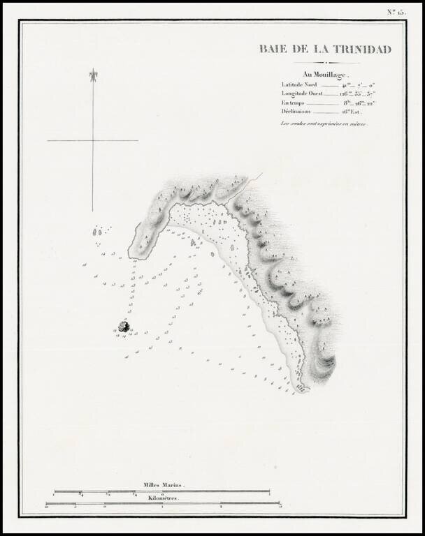
The earliest separately issued map of Trinity Bay, which appeared in Duflot de Mofras' report of his travels on the West Coast of North America. In 1839, Eugene Duflot de Mofras, was assigned to the embassy in Mexico City and instructed to visit the...
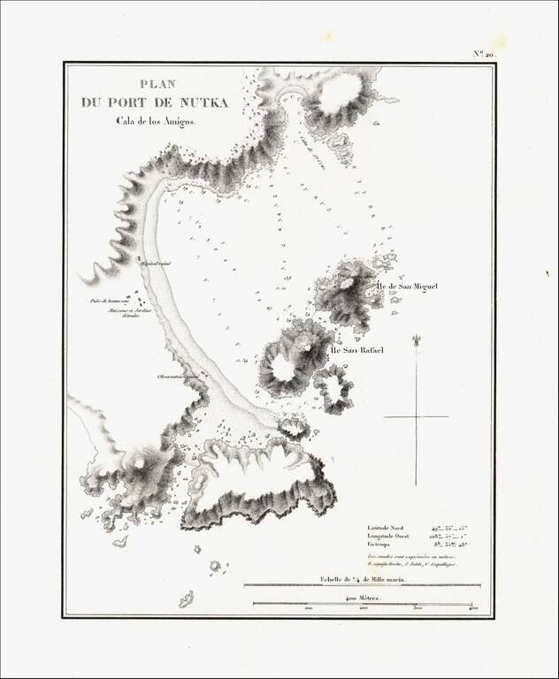
Detailed map of Nootka Bay, from Duflot de Mofras' momumental work. In 1839, Eugene Duflot de Mofras, was assigned to the embassy in Mexico City and instructed to visit the northwestern provinces of Mexico, report on potential commerce, observe U. S.,...