
Fine map of the northern part of North America, intended to illustrate the probability of a water course from Hudson's Bay to the Northwest Coast, across the interior of North America. The map was prepared to illustrate the report of Meares expedition...
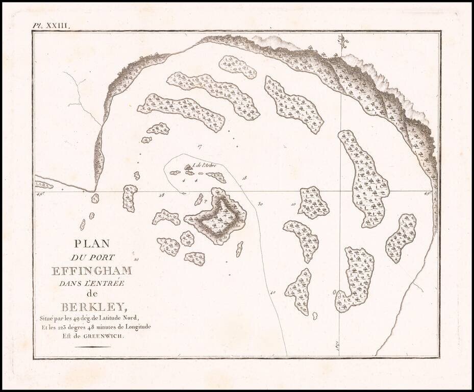
Detailed map of Port Effingham, likely on the present-day Effingham Island, previously known as Village Island in British Columbia, part of the Broken group of islands.